San Jacinto Street Bridge over Buffalo Bayou, Houston
Map

Map

Facts and practical information
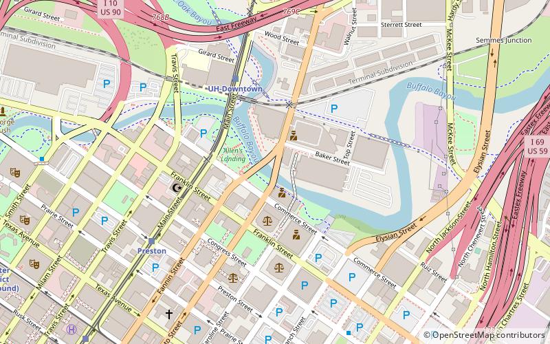
The San Jacinto Street Bridge is a viaduct which crosses Buffalo Bayou in Houston, Texas. The structure is listed on the National Register of Historic Places. This bridge was built in 1914 to replace an iron pivot bridge of 1883 origin, and rehabilitated in 1997. It is a transportation conduit connecting downtown and the historical Fifth Ward. ()
Coordinates: 29°45'48"N, 95°21'27"W
Address
Inner Loop (Downtown Houston)Houston
ContactAdd
Social media
Add
Day trips
San Jacinto Street Bridge over Buffalo Bayou – popular in the area (distance from the attraction)
Nearby attractions include: Warehouse Live, Flying Saucer Draught Emporium, Minute Maid Park, PNC Stadium.
Frequently Asked Questions (FAQ)
Which popular attractions are close to San Jacinto Street Bridge over Buffalo Bayou?
Nearby attractions include Merchants and Manufacturers Building, Houston (5 min walk), Houston Cotton Exchange Building, Houston (6 min walk), Market Square Park, Houston (7 min walk), Main Street Market Square Historic District, Houston (8 min walk).
How to get to San Jacinto Street Bridge over Buffalo Bayou by public transport?
The nearest stations to San Jacinto Street Bridge over Buffalo Bayou:
Light rail
Bus
Train
Light rail
- UH-Downtown • Lines: Red (5 min walk)
- Preston • Lines: Red (7 min walk)
Bus
- Burnett Transit Center (16 min walk)
- Downtown Transit Center (32 min walk)
Train
- Houston (17 min walk)


