Whitehall Street, New York City
Map
Gallery
Facts and practical information
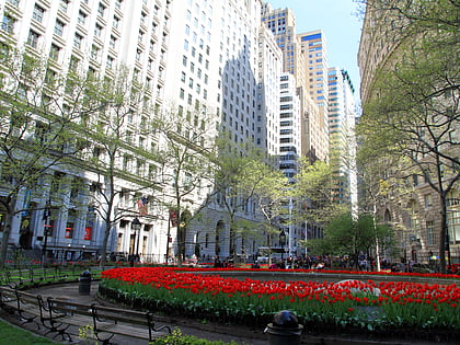
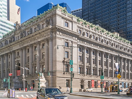
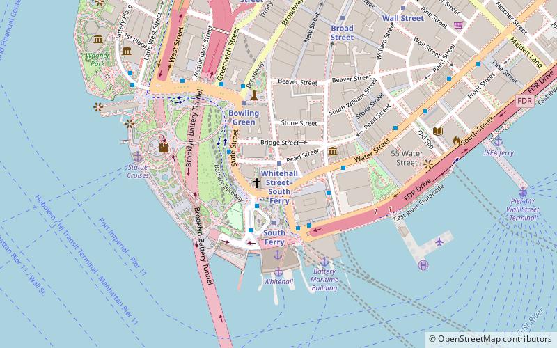
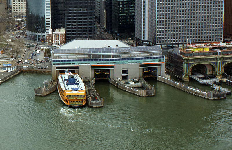
Whitehall Street is a street in the South Ferry/Financial District neighborhood of Lower Manhattan in New York City, near the southern tip of Manhattan Island. The street begins at Bowling Green to the north, where it is a continuation of the southern end of Broadway. Whitehall Street stretches four blocks to the southern end of FDR Drive, adjacent to the Staten Island Ferry's Whitehall Terminal, on landfill beyond the site of Peter Stuyvesant's 17th-century house. ()
Address
Downtown Manhattan (Financial District)New York City
ContactAdd
Social media
Add
Day trips
Whitehall Street – popular in the area (distance from the attraction)
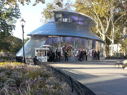
Nearby attractions include: Battery Park, Castle Clinton, Fraunces Tavern Museum, Bowling Green.
Frequently Asked Questions (FAQ)
Which popular attractions are close to Whitehall Street?
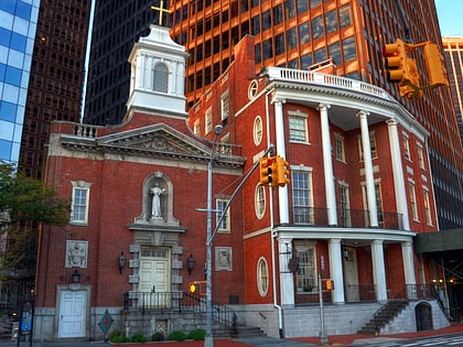
Nearby attractions include Shrine of St. Elizabeth Ann Bayley Seton, New York City (1 min walk), 17 State Street, New York City (2 min walk), James Watson House, New York City (2 min walk), 1 New York Plaza, New York City (2 min walk).
How to get to Whitehall Street by public transport?
The nearest stations to Whitehall Street:
Metro
Bus
Ferry
Light rail
Metro
- Whitehall Street–South Ferry • Lines: N, R, W (2 min walk)
- South Ferry • Lines: 1 (3 min walk)
Bus
- South Ferry/Terminal • Lines: M15-Sbs (3 min walk)
- Broadway & Battery Place • Lines: 120 (4 min walk)
Ferry
- Whitehall • Lines: Sif (5 min walk)
- Battery Park • Lines: Sc-Ny (6 min walk)
Light rail
- Exchange Place • Lines: Hblr (37 min walk)
- Harborside Financial Center • Lines: Hblr (41 min walk)

 Subway
 Manhattan Buses


