Graniteville Quarry Park, New York City

Map
Facts and practical information
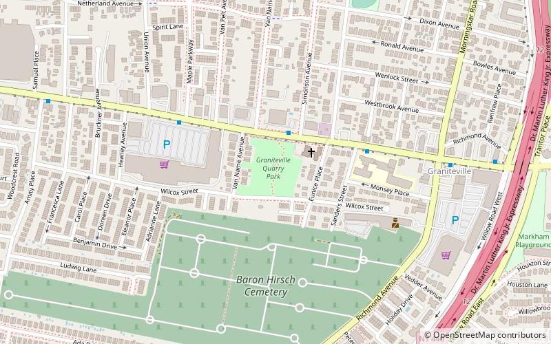
Graniteville Quarry Park is a public park operated by the New York City Department of Parks and Recreation, located on the North Shore of Staten Island, in the Graniteville area. The park is bordered on the north by Forest Avenue, on the south by Wilcox Street, on the east by the Christ United Methodist Church property and the backyards of private homes, all on Eunice Place, and on the west by Van Name Avenue, and in places, backyards of homes on that same street. ()
Elevation: 43 ft a.s.l.Coordinates: 40°37'29"N, 74°9'14"W
Address
North Shore (Graniteville)New York City
ContactAdd
Social media
Add
Day trips
Graniteville Quarry Park – popular in the area (distance from the attraction)
Nearby attractions include: Reformed Church on Staten Island, Baron Hirsch Cemetery, Church of Our Lady of Pity, Ingram Woods.
Frequently Asked Questions (FAQ)
How to get to Graniteville Quarry Park by public transport?
The nearest stations to Graniteville Quarry Park:
Bus
Bus
- Grandview Avenue & Forest Avenue • Lines: S90 (16 min walk)
- Decker Avenue & Forest Avenue • Lines: S57 (17 min walk)
 Subway
 Manhattan Buses


