Lewiston Mills and Water Power System Historic District, Lewiston
Facts and practical information
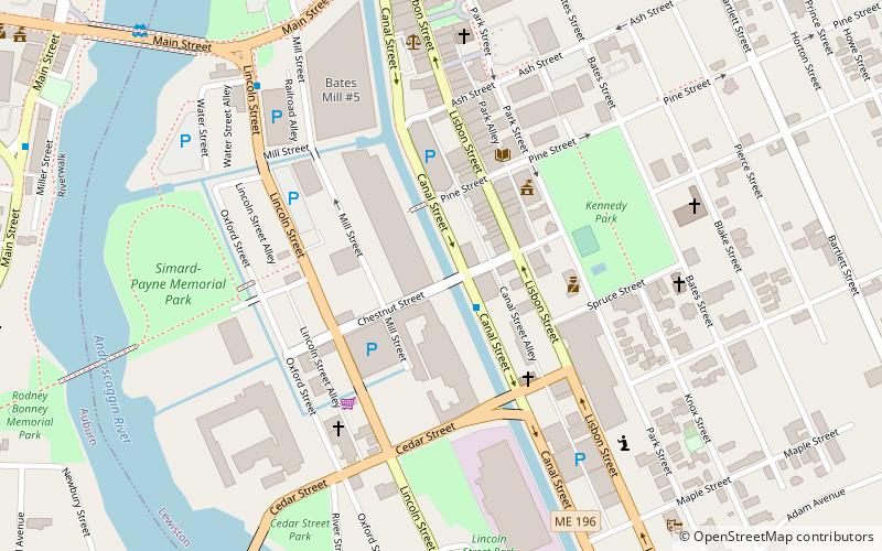
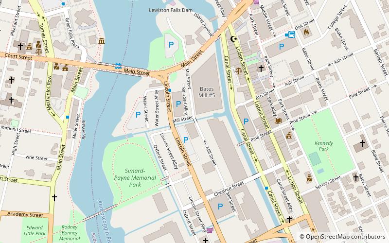
The Lewiston Mills and Water Power System Historic District encompasses the major 19th-century mill complexes and associated water power systems in Lewiston, Maine. Developed beginning in 1850, Lewiston's canals and mills were the largest textile mill complex in the state, and one of the best-preserved mature large-scale expressions of the Lowell system of cotton textile manufacturing, perfected at Waltham and Lowell, Massachusetts earlier in the 19th century. The district includes a series power canals and mill complexes developed over a 100-year period, along with mill worker housing and transportation infrastructure. It was listed on the National Register of Historic Places in 2015. ()
Downtown LewistonLewiston
- Bus
 Bus
Bus
- Calculate routeCanal Plaza 2 min walk
- Calculate routeHampton Inn 7 min walk
- Calculate routeOak Street Bus Station 9 min walk
- Calculate routeGreyhound Bus 9 min walk
Lewiston Mills and Water Power System Historic District – popular in the area (distance from the attraction)
Nearby attractions include: Androscoggin Bank Colisée, Basilica of Saints Peter and Paul, Museum L-A, Lewiston City Hall.


Frequently Asked Questions (FAQ)
Which popular attractions are close to Lewiston Mills and Water Power System Historic District?
How to get to Lewiston Mills and Water Power System Historic District by public transport?
Bus
- Canal Plaza • Lines: 1 (2 min walk)
- Hampton Inn • Lines: 1 (7 min walk)