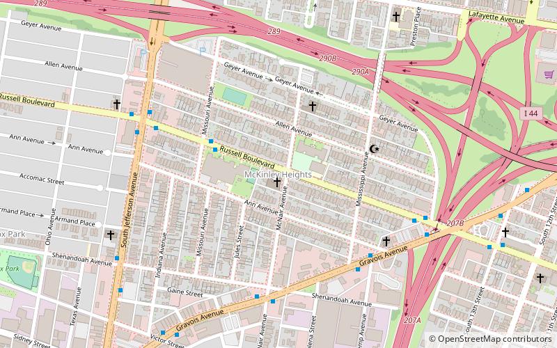
McKinley Heights, St. Louis

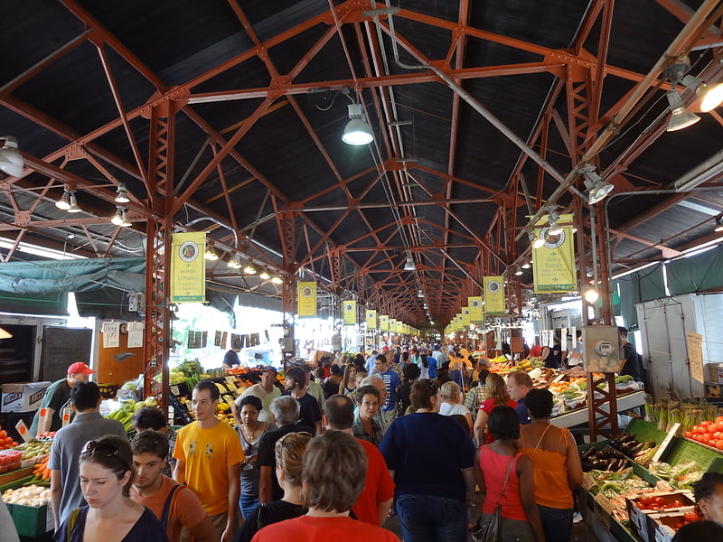
Gallery (1)
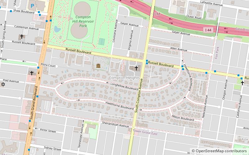
Map
Map
Facts and practical information
McKinley Heights is a historic conservation neighborhood located in the near South Side of the City of St. Louis. It was rated as a Top 10 Neighborhood for young adults in the St. Louis metropolitan area. The neighborhood is bounded by I-44 to the north, Jefferson Avenue to the west, and I-55 and Gravois Boulevard to the east and south. There are restaurants and entertainment in the adjacent Soulard and Lafayette Square neighborhoods. Three bus routes provide a commute downtown or throughout the City. There are three churches and several neighborhood businesses. There is also 1 6th-12th Grade High School, McKinley Classical Leadership Academy ()
Coordinates: 38°36'35"N, 90°13'3"W
Getting there by public transportation
Public transportation stops near this location
- Bus
- Light rail
- Train
 Bus
Bus
- Calculate routeSaint Louis 32 min walk
- Calculate routeA 33 min walk
- Calculate routeB 33 min walk
- Calculate routeC 33 min walk
- Calculate routeD 33 min walk
- Calculate routeCivic Center 34 min walk
- Calculate routeUnion Station 34 min walk
Day trips


Frequently Asked Questions (FAQ)
Which popular attractions are close to McKinley Heights?
Nearby attractions include Soulard, St. Louis (15 min walk), Aboussie Park, St. Louis (16 min walk), St. Francis de Sales Oratory, St. Louis (16 min walk), Peabody–Darst–Webbe, St. Louis (18 min walk).
How to get to McKinley Heights by public transport?
The nearest stations to McKinley Heights:
Train
Bus
Light rail
Train
- Saint Louis (32 min walk)
Bus
- A • Lines: 30 (33 min walk)
- B • Lines: 19 (33 min walk)
Light rail
- Civic Center • Lines: Blue, Red (34 min walk)
- Union Station • Lines: Blue, Red (34 min walk)