Laurel and Marshall Streets District, Hartford

Gallery (1)
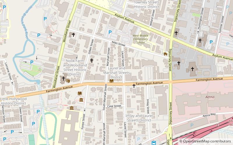
Map
Map
Facts and practical information
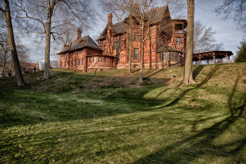
The Laurel and Marshall Streets District is a historic district encompassing a late-19th and early-20th century residential area in the Asylum Hill neighborhood of Hartford, Connecticut. Extending along Laurel and Marshall Streets between Niles and Case Streets, its housing stock represents a significant concentration of middle-class Queen Anne architecture in the city. It was listed on the National Register of Historic Places in 1979. ()
Area: 23 acres (0.0359 mi²)Coordinates: 41°46'6"N, 72°41'52"W
Address
Asylum HillHartford
ContactAdd
Social media
Add
Getting there by public transportation
Public transportation stops near this location
- Bus
- Train
 Bus
Bus
- Calculate routeSigourney Street Station 8 min walk
- Calculate routeHartford Union Station 21 min walk
- Calculate routeParkville Station 22 min walk
- Calculate routeHartford 22 min walk
Day trips
Laurel and Marshall Streets District – popular in the area (distance from the attraction)
Nearby attractions include: XL Center, Mark Twain House, Harriet Beecher Stowe Center, Dunkin' Donuts Park.


Frequently Asked Questions (FAQ)
Which popular attractions are close to Laurel and Marshall Streets District?
Nearby attractions include Imlay and Laurel Streets District, Hartford (5 min walk), Harriet Beecher Stowe Center, Hartford (6 min walk), Mark Twain House, Hartford (6 min walk), Asylum Avenue District, Hartford (7 min walk).
How to get to Laurel and Marshall Streets District by public transport?
The nearest stations to Laurel and Marshall Streets District:
Bus
Train
Bus
- Sigourney Street Station (8 min walk)
- Hartford Union Station (21 min walk)
Train
- Hartford (22 min walk)