Langley Fork Historic District, McLean
Map

Map

Facts and practical information
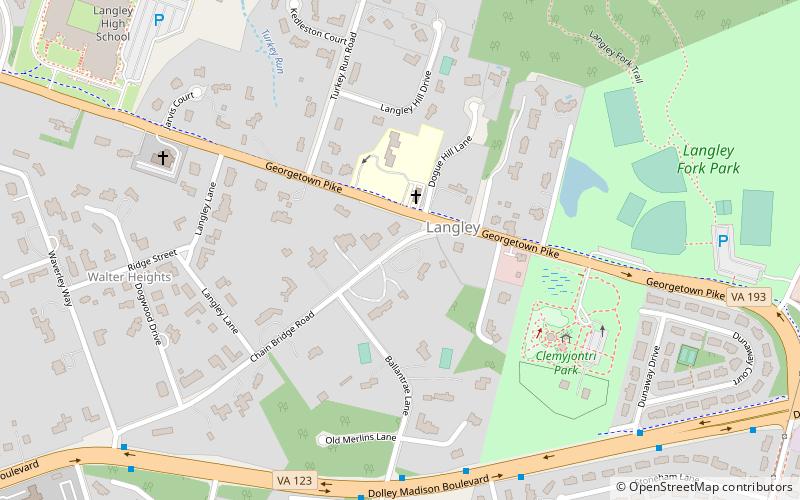
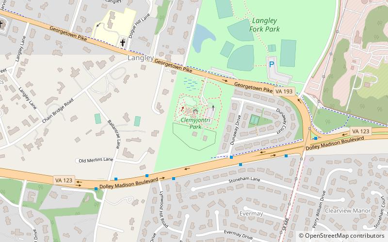
Langley Fork Historic District is a national historic district located at Langley, Fairfax County, Virginia. It encompasses 12 contributing buildings. They include Hickory Hill, the Langley Ordinary, the Langley Toll House, Gunnell's Chapel, the Langley Friends meeting house, a day school in an old church formerly converted to a residence, and an Amoco service station dated to 1932. ()
Coordinates: 38°56'46"N, 77°9'36"W
Address
McLeanMcLean
ContactAdd
Social media
Add
Day trips
Langley Fork Historic District – popular in the area (distance from the attraction)
Nearby attractions include: CIA Museum, Claude Moore Colonial Farm, Salona, Clemyjontri Park.
Frequently Asked Questions (FAQ)
Which popular attractions are close to Langley Fork Historic District?
Nearby attractions include Clemyjontri Park, McLean (6 min walk), Claude Moore Colonial Farm, McLean (13 min walk), Salona, McLean (20 min walk), CIA Museum, McLean (21 min walk).
How to get to Langley Fork Historic District by public transport?
The nearest stations to Langley Fork Historic District:
Bus
Bus
- Old Dominion Dr & Corner Ln • Lines: 23A, 23T (32 min walk)


