Queets Fir
Map

Map

Facts and practical information
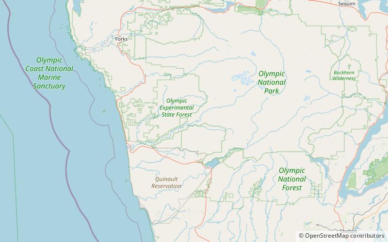
The Queets Fir is a superlative Douglas fir about 2.5 miles from the Queets River Trail trailhead, on Coal Creek, a tributary of Queets River in the Olympic National Park in Washington State. It was known for fifty years, beginning in 1945, as the largest known fir by volume, and is still largest known in diameter. It has a height of at least 200 feet, circumference 600 inches, and spread of 71 feet. It was listed as national co-champion Douglas fir by American Forests, and one of only a handful of "undisputed megatrees" in North America with over 800 points. ()
Coordinates: 47°38'17"N, 123°58'32"W
Location
Washington
ContactAdd
Social media
Add
