Black Rock Historic District, Fairfield
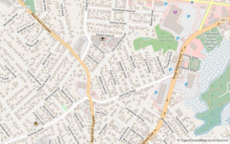
Map
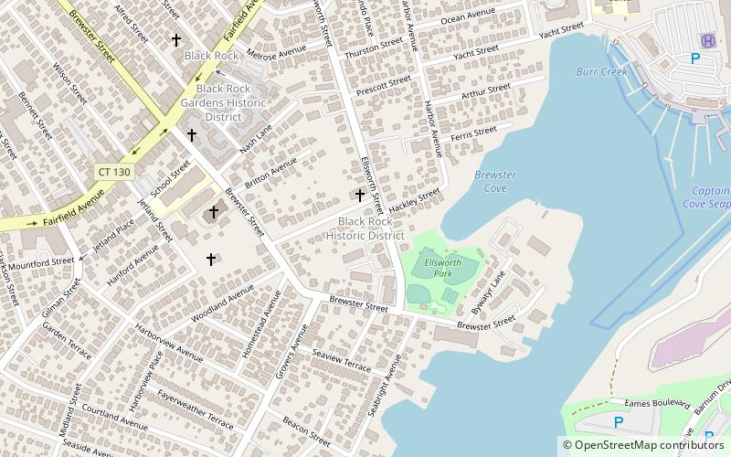
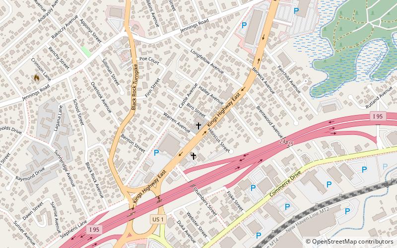
Map

Facts and practical information
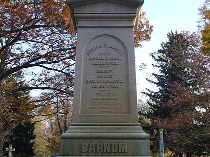
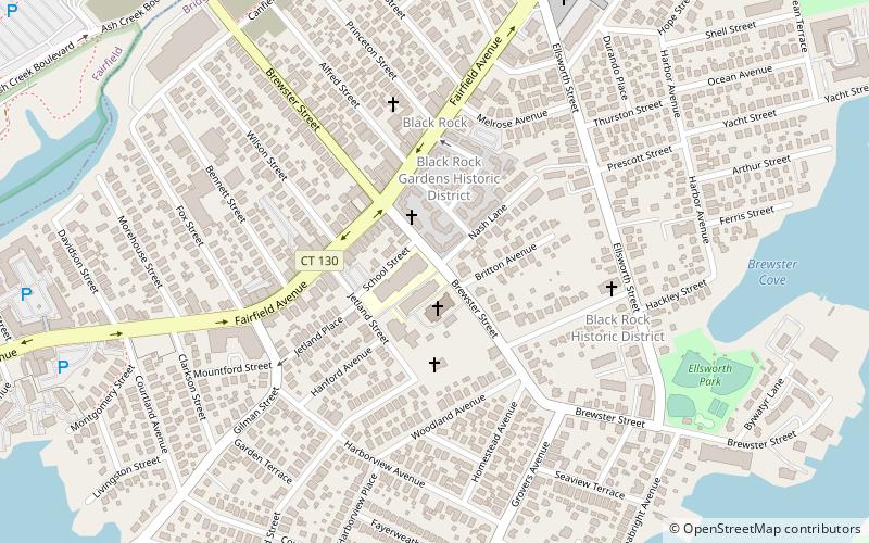
The Black Rock Historic District is a predominantly residential historic district in the Black Rock section of Bridgeport, Connecticut. It was listed on the National Register of Historic Places in 1979. At that time it included 109 contributing buildings. The historic district surrounds at the upper reaches of Black Rock Harbor. ()
Coordinates: 41°9'20"N, 73°13'18"W
Address
West Side - West End (Black Rock)Fairfield
ContactAdd
Social media
Add
Day trips
Black Rock Historic District – popular in the area (distance from the attraction)
Nearby attractions include: Seaside Park, Mountain Grove Cemetery, Holy Family Church, St. Emery Church.
Frequently Asked Questions (FAQ)
Which popular attractions are close to Black Rock Historic District?
Nearby attractions include St. Ann Church, Bridgeport (6 min walk), Black Rock Gardens Historic District, Fairfield (6 min walk), Black Rock, Bridgeport (7 min walk), Black Rock Harbor, Bridgeport (11 min walk).
How to get to Black Rock Historic District by public transport?
The nearest stations to Black Rock Historic District:
Train
Train
- Fairfield Metro (20 min walk)


