Wayne State Arena, Detroit
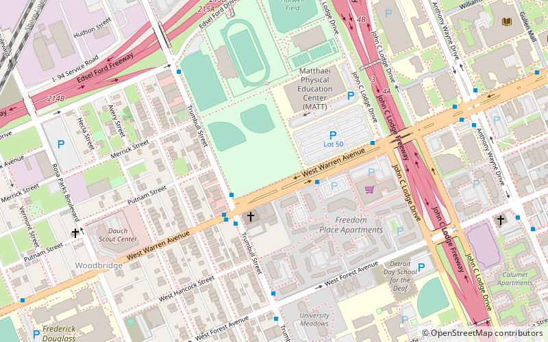
Map
Facts and practical information
Wayne State Fieldhouse is a multi-purpose arena in Detroit. It serves as the home of the Wayne State Warriors men's and women's basketball teams and the Motor City Cruise of the NBA G League. The arena is owned by Wayne State University. ()
Coordinates: 42°21'11"N, 83°4'39"W
Address
Cass Corridor (Wayne State)Detroit
ContactAdd
Social media
Add
Getting there by public transportation
Public transportation stops near this location
- Bus
- Tram
- Train
 Bus
Bus
- Calculate routeWarren / Freedom Place Apts 2 min walk
- Calculate routeTrumbull / Warren 3 min walk
- Calculate routeWarren Avenue 19 min walk
- Calculate routeFerry Street 20 min walk
- Calculate routeCanfield Street 22 min walk
- Calculate routeDetroit 27 min walk
Day trips
Wayne State Arena – popular in the area (distance from the attraction)
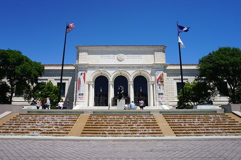
Nearby attractions include: Detroit Institute of Arts, MotorCity Casino Hotel, Charles H. Wright Museum of African American History, Museum of Contemporary Art Detroit.


Frequently Asked Questions (FAQ)
Which popular attractions are close to Wayne State Arena?
Nearby attractions include Saint Andrew's Memorial Episcopal Church, Detroit (8 min walk), Still Point Zen Buddhist Temple, Detroit (10 min walk), Woodbridge, Detroit (11 min walk), David Adamany Undergraduate Library, Detroit (12 min walk).
How to get to Wayne State Arena by public transport?
The nearest stations to Wayne State Arena:
Bus
Tram
Train
Bus
- Warren / Freedom Place Apts • Lines: 08 (2 min walk)
- Trumbull / Warren • Lines: 29 (3 min walk)
Tram
- Warren Avenue • Lines: QLine (19 min walk)
- Ferry Street • Lines: QLine (20 min walk)
Train
- Detroit (27 min walk)