Wanskuck, Providence

Map
Facts and practical information
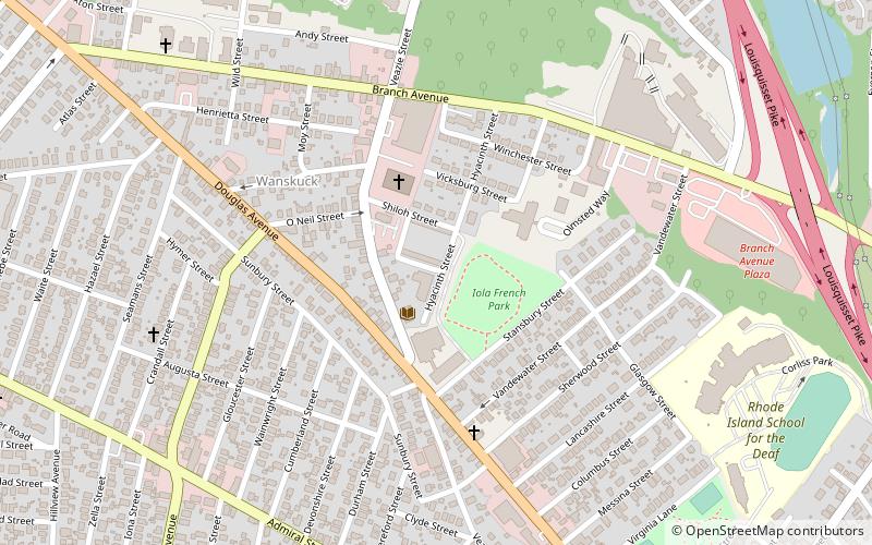
Wanskuck is a neighborhood in the northern part of Providence, Rhode Island. Along with Charles, it is one of two neighborhoods comprising what is often referred to as the North End. Wanskuck is bounded to the east by Route 146, to the west by Providence College, Admiral Street, Route 7, and Huxley Avenue, and to the south roughly by Fillmore Street. Parts of Wanskuck north of Branch Avenue are the Wanskuck Historic District. ()
Coordinates: 41°51'8"N, 71°26'2"W
Address
WanskuckProvidence
ContactAdd
Social media
Add
Day trips
Wanskuck – popular in the area (distance from the attraction)
Nearby attractions include: Rhode Island Old Catholicism, Sons of Jacob Synagogue, Providence College, Esek Hopkins House.
Frequently Asked Questions (FAQ)
Which popular attractions are close to Wanskuck?
Nearby attractions include Wanskuck Branch Providence Public Library, Providence (5 min walk), Wanskuck Historic District, Providence (10 min walk), Providence College, Providence (15 min walk).


