Woden - The Valhallas, Olympic National Park
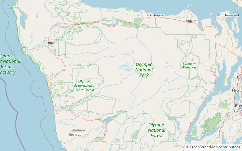
Map
Facts and practical information
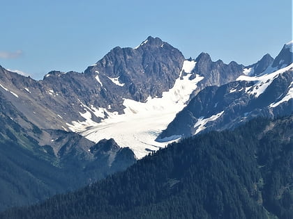
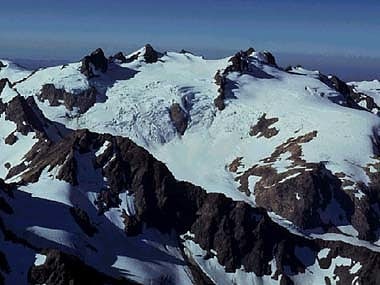
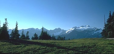
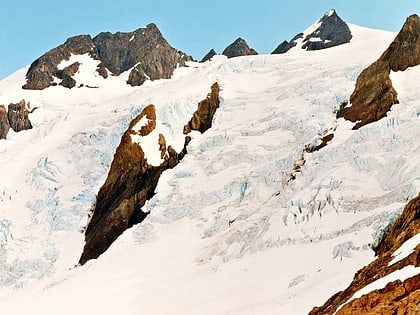
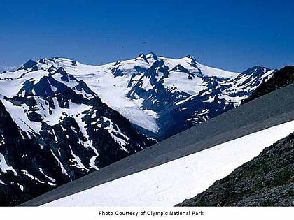
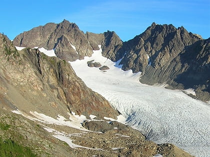
Woden is a 6,038-foot mountain summit located within Olympic National Park in Jefferson County of Washington state. Its nearest higher neighbor is Mount Tom, 3 mi to the north-northwest, and Mount Olympus rises 3.8 mi to the north-northeast. Woden is the highest point in The Valhallas, a sub-range south of Mount Olympus. Precipitation runoff from the mountain drains into tributaries of the South Fork Hoh River and Queets River. The Geri-Freki Glacier, which descends north from Woden. is the only glacier in The Valhallas. ()
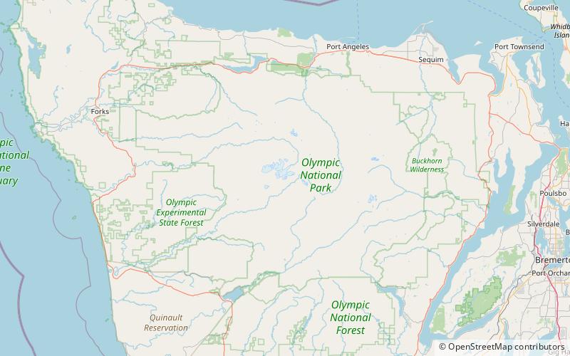
Coordinates: 47°45'4"N, 123°44'41"W
Address
Olympic National Park
ContactAdd
Social media
Add
Day trips
Woden - The Valhallas – popular in the area (distance from the attraction)
Nearby attractions include: Mount Mathias, Mount Olympus, Olympic Mountains, Blue Glacier.
