Old Beechwold Historic District, Columbus
Map
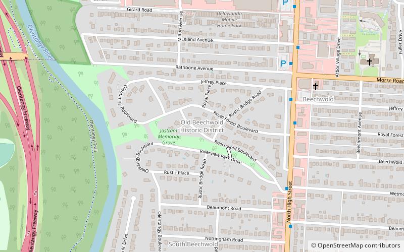
Map

Facts and practical information
The Old Beechwold Historic District is a neighborhood and historic district in Clintonville, Columbus, Ohio. The site was listed on the Columbus Register of Historic Properties in 1985 and the National Register of Historic Places in 1987. The district is significant for its architecture, landscape architecture, and community planning. The houses are of the early 20th century, using stone, brick, and stucco. ()
Coordinates: 40°3'39"N, 83°1'24"W
Address
Clintonville (Old Beechwold)Columbus
ContactAdd
Social media
Add
Day trips
Old Beechwold Historic District – popular in the area (distance from the attraction)
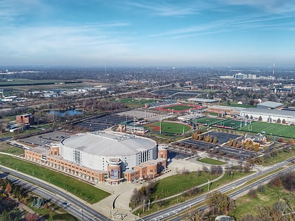
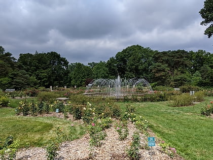
Nearby attractions include: Value City Arena, Kingsdale Shopping Center, Park of Roses, Ohio State University Golf Club.
Frequently Asked Questions (FAQ)
How to get to Old Beechwold Historic District by public transport?
The nearest stations to Old Beechwold Historic District:
Bus
Bus
- N High St & E Royal Forest Blvd • Lines: 102, 2 (6 min walk)

