Tampa Heights Historic District, Tampa
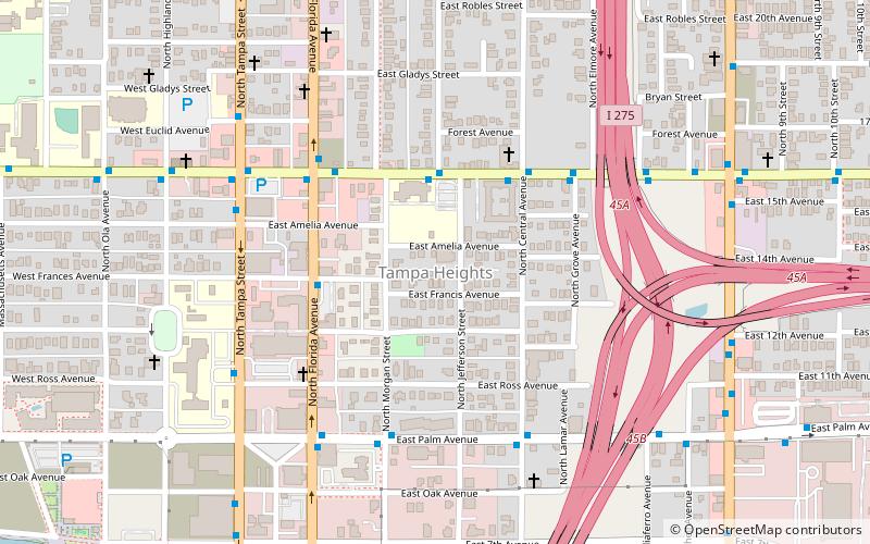
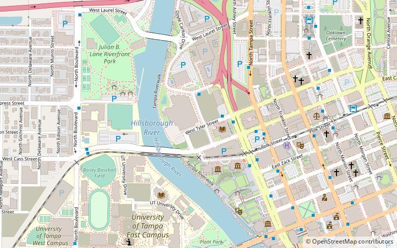
Map

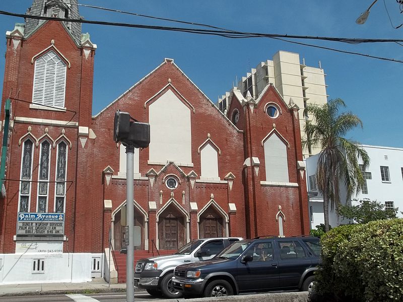
Gallery

Facts and practical information
The Tampa Heights Historic District is a U.S. historic district in Tampa, Florida. It is bounded by Adalee Street, I-275, 7th Avenue and North Tampa Avenue, encompasses approximately 200 acres, and contains 289 historic buildings. On August 4, 1995, it was added to the U.S. National Register of Historic Places. The district includes Lee Elementary School of Technology World Studies, the first brick school in Hillsborough County, Florida. ()
Coordinates: 27°57'55"N, 82°27'25"W
Address
Northeast Tampa (Tampa Heights)Tampa
ContactAdd
Social media
Add
Day trips
Tampa Heights Historic District – popular in the area (distance from the attraction)
Nearby attractions include: Oaklawn Cemetery, Bro Bowl, Tampa Theatre, Straz Center for the Performing Arts.
Frequently Asked Questions (FAQ)
Which popular attractions are close to Tampa Heights Historic District?
Nearby attractions include St. James House of Prayer Episcopal Church, Tampa (5 min walk), Tampa Heights, Tampa (10 min walk), Tampa Free Library, Tampa (11 min walk), Centro Asturiano de Tampa, Tampa (12 min walk).
How to get to Tampa Heights Historic District by public transport?
The nearest stations to Tampa Heights Historic District:
Bus
Tram
Train
Bus
- Columbus Drive @ Jefferson Street • Lines: 15 (3 min walk)
- Florida Avenue @ Frances Street • Lines: 1, 6 (4 min walk)
Tram
- Cadrecha Plaza • Lines: Teco (20 min walk)
- Streetcar Society • Lines: Teco (23 min walk)
Train
- Tampa (24 min walk)


