Radnor, Wayne
Map

Map

Facts and practical information
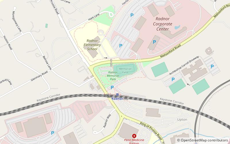
Radnor is a community located approximately 13 miles west of Philadelphia, in the Main Line suburbs. It straddles Montgomery and Delaware Counties, Pennsylvania. The community was named after Radnor, in Wales. ()
Elevation: 420 ft a.s.l.Coordinates: 40°2'46"N, 75°21'35"W
Address
Wayne
ContactAdd
Social media
Add
Day trips
Radnor – popular in the area (distance from the attraction)
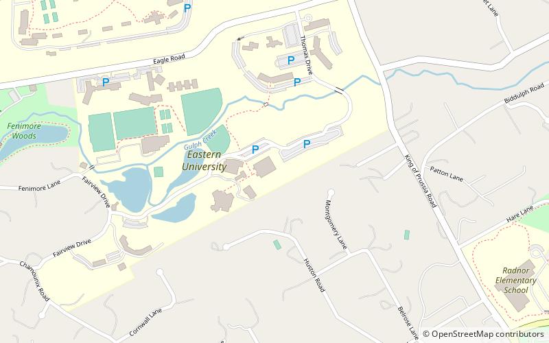
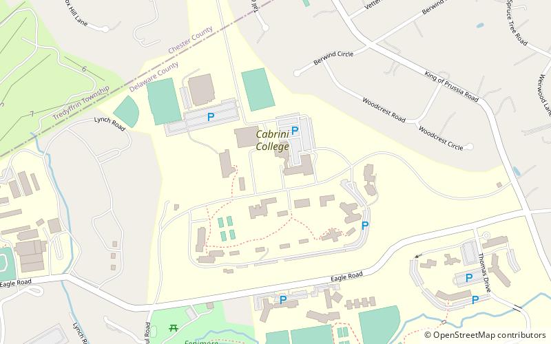
Nearby attractions include: St. Davids, Bradstreet Observatory, Woodcrest, Eastern University.
Frequently Asked Questions (FAQ)
Which popular attractions are close to Radnor?
Nearby attractions include Bradstreet Observatory, Wayne (15 min walk), Eastern University, Wayne (18 min walk).
How to get to Radnor by public transport?
The nearest stations to Radnor:
Train
Light rail
Train
- Radnor (3 min walk)
- Saint Davids (19 min walk)
Light rail
- Radnor • Lines: Nhsl (11 min walk)
- County Line • Lines: Nhsl (19 min walk)


