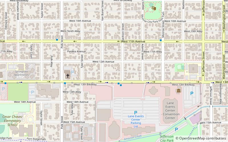
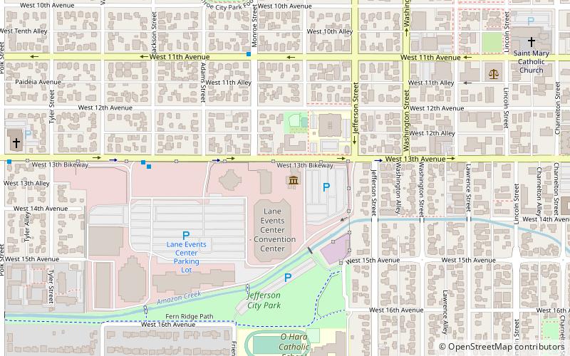
Jefferson Westside, Eugene
Map
Facts and practical information
Jefferson Westside is a neighborhood in Eugene, Oregon, United States. ()
Coordinates: 44°2'46"N, 123°6'31"W
Address
City Central (Jefferson Westside)Eugene
ContactAdd
Social media
Add
Getting there by public transportation
Public transportation stops near this location
- Bus
- Train
 Bus
Bus
- Calculate routeEmX 19 min walk
- Calculate routeLane Transit District - Eugene Station 20 min walk
- Calculate routeW/S of WIllamette S of 14th 21 min walk
- Calculate routeGarfield and 7th EMx Station 21 min walk
- Calculate routeEugene-Springfield 27 min walk
Day trips


Frequently Asked Questions (FAQ)
Which popular attractions are close to Jefferson Westside?
Nearby attractions include Lane County History Museum, Eugene (7 min walk), Lane Events Center, Eugene (7 min walk), Frank L. and Ida H. Chambers House, Eugene (9 min walk), St. Mary Roman Catholic Church, Eugene (17 min walk).
How to get to Jefferson Westside by public transport?
The nearest stations to Jefferson Westside:
Bus
Train
Bus
- EmX • Lines: EmX (19 min walk)
- Lane Transit District - Eugene Station (20 min walk)
Train
- Eugene-Springfield (27 min walk)