Ambridge Mann, Gary
Map
Facts and practical information
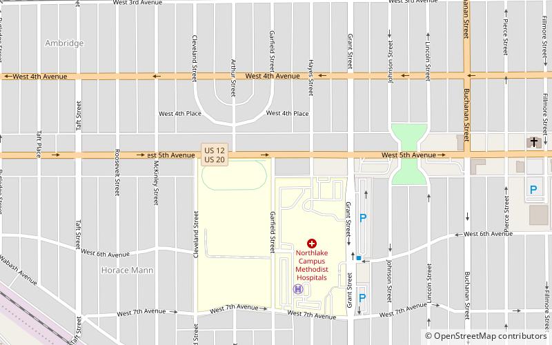
Ambridge Mann, sometimes called Ambridge-Horace Mann or Horace Mann-Ambridge, is a neighborhood in northwestern Gary, Indiana. It is bounded by the Grand Calumet River on the north, by Grant Street on the east, by Chase Street on the west, and by the Norfolk Southern railroad on the south. Adjacent areas include an industrial district to the north, Downtown West to the east, Tolleston to the south, and Brunswick to the west. As of 2000, Ambridge Mann had a population of 6,236, which was 96.3% African-American. Located just south of Interstate 90, the neighborhood can be seen while passing Buchanan Street. ()
Coordinates: 41°36'6"N, 87°21'33"W
Address
West Gary (Ambridge Mann)Gary
ContactAdd
Social media
Add
Getting there by public transportation
Public transportation stops near this location
- Bus
- Train
 Bus
Bus
- Calculate route6th Avenue & Waverly 16 min walk
- Calculate route11th Avenue & Roosevelt 20 min walk
- Calculate routeGary Metro Center 28 min walk
- Calculate routeGary Metro Center 29 min walk
Day trips


Frequently Asked Questions (FAQ)
Which popular attractions are close to Ambridge Mann?
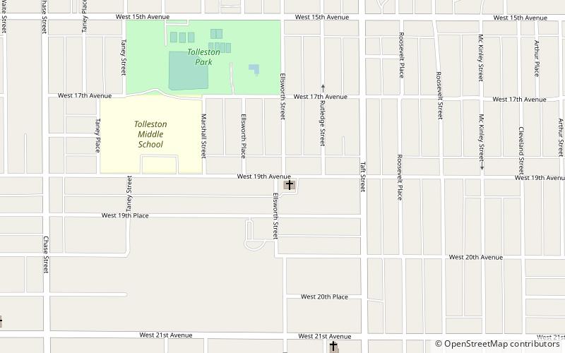
Nearby attractions include West Fifth Avenue Apartments Historic District, Gary (2 min walk), Eskilson Historic District, Gary (4 min walk), Horace Mann, Gary (8 min walk), Lincoln Street Historic District, Gary (8 min walk).
How to get to Ambridge Mann by public transport?
The nearest stations to Ambridge Mann:
Bus
Train
Bus
- 6th Avenue & Waverly • Lines: R3 (16 min walk)
- 11th Avenue & Roosevelt • Lines: R3 (20 min walk)
Train
- Gary Metro Center (29 min walk)