ʻĀinapō Trail

Map
Facts and practical information
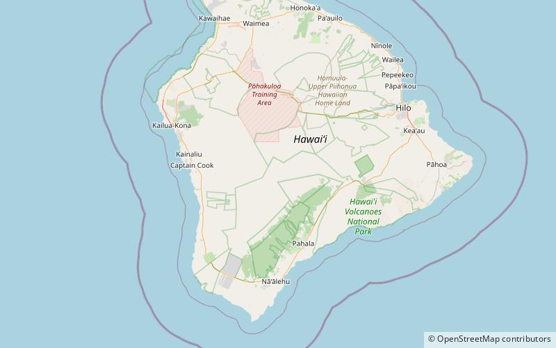
The ʻĀinapō Trail was the primary route to the summit of Mauna Loa from prehistory to 1916. The trail began on the southeast flank at 2000 feet of elevation and reached Mokuaweoweo, the summit crater, at 13,200 feet. It was sometimes called Menzies Trail after Archibald Menzies who was the first recorded outsider to climb the mountain in 1794. The Ainapo Trail was added to the National Register of Historic Places on August 30, 1974. ()
Coordinates: 19°27'39"N, 155°34'39"W
Location
Hawaii
ContactAdd
Social media
Add
Day trips
ʻĀinapō Trail – popular in the area (distance from the attraction)
Nearby attractions include: Mauna Loa.
