Lake Panamint

Gallery (1)
Map
Map
Facts and practical information
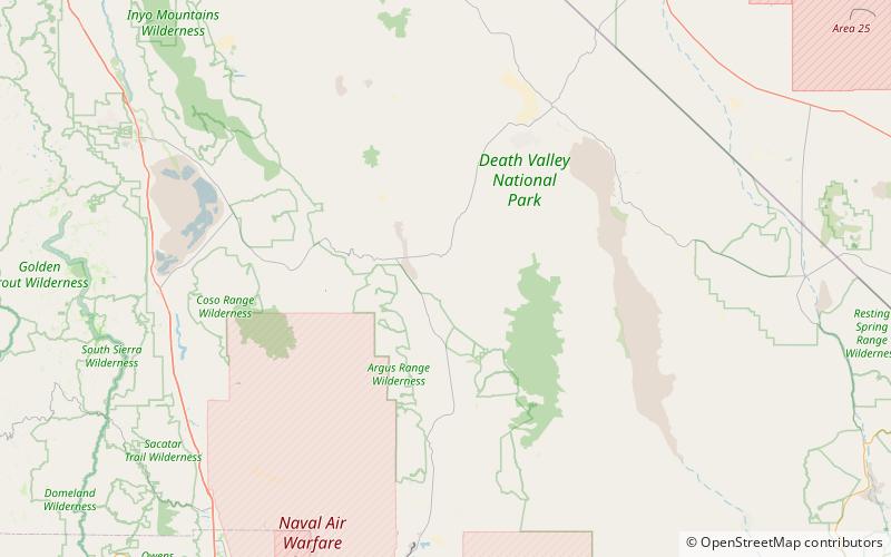
Lake Panamint is a former lake that occupied Panamint Valley in California during the Pleistocene. It was formed mainly by water overflowing through the Owens River and which passed through Lake Searles into the Panamint Valley. At times, Lake Panamint itself overflowed into Death Valley and Lake Manly. ()
Elevation: 2703 ft a.s.l.Coordinates: 36°17'60"N, 117°18'0"W
Location
California
ContactAdd
Social media
Add