Palisades Village, Santa Monica
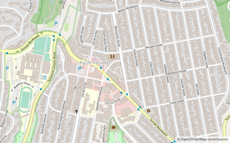
Map
Facts and practical information
Palisades Village is a local shopping village located in Pacific Palisades, California, in the downtown area of the neighborhood known as the "Village", from which the shopping center derives its name. ()
Coordinates: 34°2'51"N, 118°31'30"W
Address
West Los Angeles (Pacific Palisades)Santa Monica
ContactAdd
Social media
Add
Day trips
Palisades Village – popular in the area (distance from the attraction)
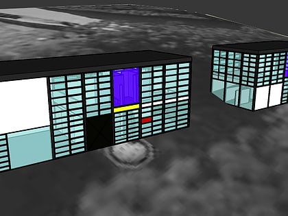
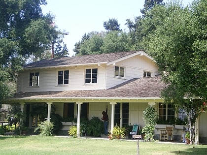
Nearby attractions include: Eames House, Will Rogers State Historic Park, Pacific Palisades Business Block, Pacific Palisades.
Frequently Asked Questions (FAQ)
Which popular attractions are close to Palisades Village?
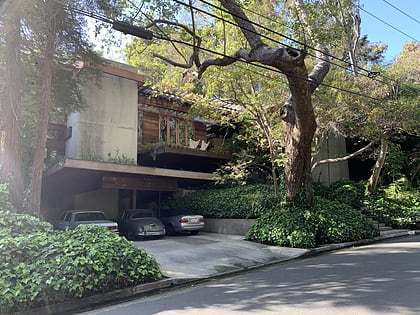
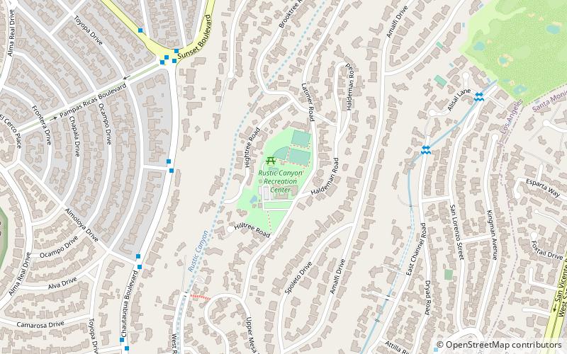
Nearby attractions include Pacific Palisades Business Block, Santa Monica (2 min walk), Pacific Palisades, Los Angeles (2 min walk), Kappe Residence, Santa Monica (18 min walk), Rustic Canyon, Santa Monica (22 min walk).
How to get to Palisades Village by public transport?
The nearest stations to Palisades Village:
Bus
Bus
- Sunset & Swarthmore • Lines: 602, 9 (2 min walk)
