Niagara Falls City Hall, Niagara Falls
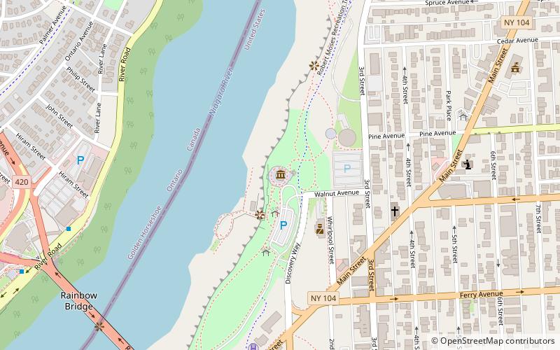
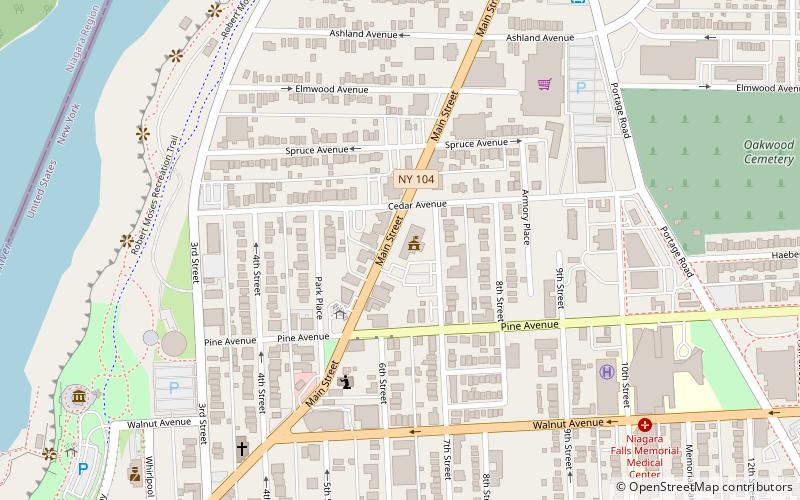
Map
Gallery
Facts and practical information
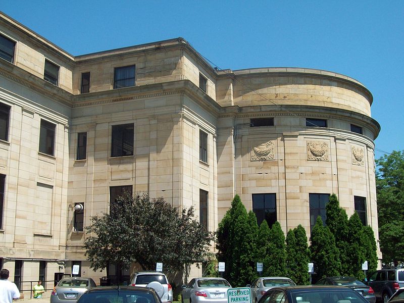
Niagara Falls City Hall is a historic city hall located at Niagara Falls in Niagara County, New York. It was constructed in 1923–1924, in the Beaux-Arts style. The building embodies Neo-Classical Revival architectural details. It features a centrally arranged rectangular form, with a central projecting pavilion, fluted columns with Ionic capitals, and smooth ashlar sandstone walls with pilasters. ()
Built: 1923 (103 years ago)Coordinates: 43°5'45"N, 79°3'19"W
Day trips
Niagara Falls City Hall – popular in the area (distance from the attraction)
Nearby attractions include: American Falls, Bridal Veil Falls, Niagara Falls State Park, Prospect Point Observation Tower.
Frequently Asked Questions (FAQ)
Which popular attractions are close to Niagara Falls City Hall?
Nearby attractions include First Unitarian Universalist Church of Niagara, Niagara Falls (2 min walk), Park Place Historic District, Niagara Falls (3 min walk), Niagara Falls Public Library, Niagara Falls (6 min walk), Aquarium of Niagara, Niagara Falls (7 min walk).
How to get to Niagara Falls City Hall by public transport?
The nearest stations to Niagara Falls City Hall:
Bus
Train
Bus
- NFTA Portage Road Transit Center (9 min walk)
- FlixBus Niagara Falls • Lines: 2686 (23 min walk)
Train
- Niagara Falls, New York (25 min walk)


