Sears Rock, Sausalito

Map
Facts and practical information
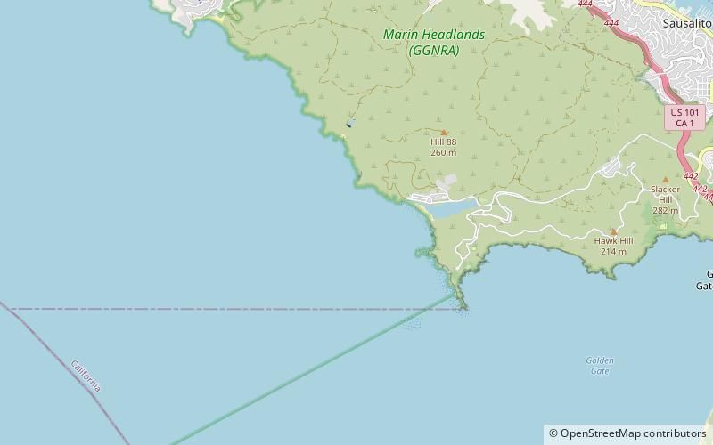
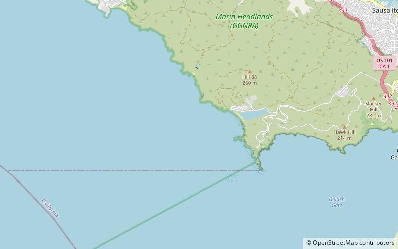
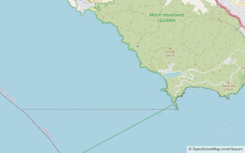
Sears Rock is a small sub-surface rock about 0.7 miles west of Rodeo Beach in the Pacific Ocean off Marin County, California. It is the highest point of the larger Centissima Reef, a sub-surface navigation hazard east of the Bonita Channel, although some reports refer to the two as separate features. ()
Coordinates: 37°49'43"N, 122°32'57"W
Address
Sausalito
ContactAdd
Social media
Add
Day trips
Sears Rock – popular in the area (distance from the attraction)
Nearby attractions include: Nike Missile Site SF-88, Point Bonita Lighthouse, Rodeo Lagoon, The Marine Mammal Center.
Frequently Asked Questions (FAQ)
Which popular attractions are close to Sears Rock?
Nearby attractions include Centissima Reef, Sausalito (2 min walk), Bonita Channel, Sausalito (15 min walk), Rodeo Beach, Sausalito (17 min walk), Bird Island, San Francisco (19 min walk).


