Taconic and West Avenues Historic District, Great Barrington
Map

Map

Facts and practical information
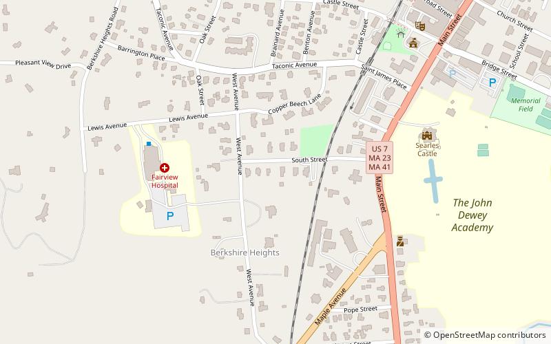
The Taconic and West Avenues Historic District is a largely residential historic district south of the downtown area of Great Barrington, Massachusetts. The roughly 117-acre district includes 172 contributing elements, most of which are houses or related buildings. Two thirds of the buildings were built between 1890 and 1910, and most of the rest were constructed in a historically sympathetic way. ()
Coordinates: 42°11'27"N, 73°22'5"W
Address
Great Barrington
ContactAdd
Social media
Add
Day trips
Taconic and West Avenues Historic District – popular in the area (distance from the attraction)
Nearby attractions include: Mahaiwe Performing Arts Center, Society of the Congregational Church of Great Barrington, Searles Castle, Clinton African Methodist Episcopal Zion Church.
Frequently Asked Questions (FAQ)
Which popular attractions are close to Taconic and West Avenues Historic District?
Nearby attractions include Dwight-Henderson House, Great Barrington (4 min walk), Searles Castle, Great Barrington (7 min walk), Mahaiwe Performing Arts Center, Great Barrington (9 min walk), Society of the Congregational Church of Great Barrington, Great Barrington (13 min walk).


