Omaha Rail and Commerce Historic District, Omaha
Map
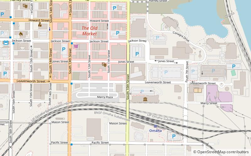
Map

Facts and practical information
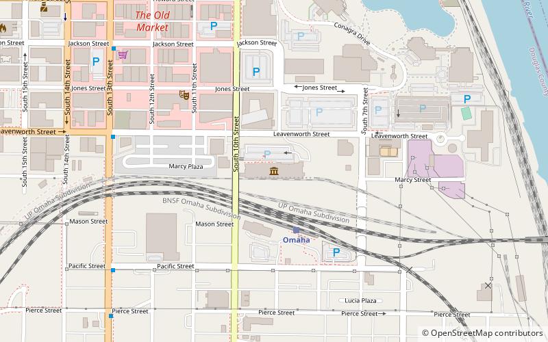
The Omaha Rail and Commerce Historic District, roughly bounded by Jackson, 15th, and 8th Streets, as well as the Union Pacific main line, is located in downtown Omaha, Nebraska. Today this historic district includes several buildings listed individually on the National Register of Historic Places, including the Union Pacific Depot and the Burlington Station. ()
Coordinates: 41°15'9"N, 95°55'46"W
Address
Old MarketOmaha
ContactAdd
Social media
Add
Day trips
Omaha Rail and Commerce Historic District – popular in the area (distance from the attraction)
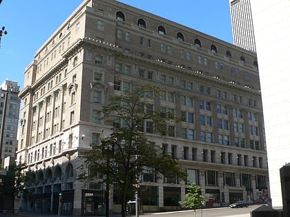
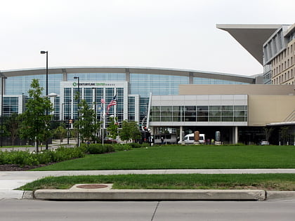
Nearby attractions include: J. L. Brandeis and Sons Store Building, CenturyLink Center Omaha, Joslyn Art Museum, Gene Leahy Mall.
Frequently Asked Questions (FAQ)
Which popular attractions are close to Omaha Rail and Commerce Historic District?
Nearby attractions include Durham Museum, Omaha (3 min walk), Blue Barn Theatre, Omaha (4 min walk), Bemis Center for Contemporary Arts, Omaha (4 min walk), Omaha Bolt, Omaha (6 min walk).
How to get to Omaha Rail and Commerce Historic District by public transport?
The nearest stations to Omaha Rail and Commerce Historic District:
Train
Bus
Train
- Omaha (6 min walk)
Bus
- Omaha Bus Station (12 min walk)
- 14th & Douglas • Lines: 95 (13 min walk)

