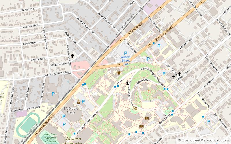
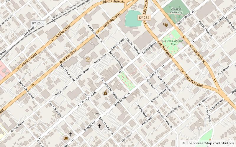
Downtown Commercial District, Bowling Green
Facts and practical information
The Civil War in Downtown Bowling Green
The Civil War is an integral part of the history of Bowling Green and its downtown commercial district. Due to Bowling Green's strategic location along the Barren River, and its regional economic and industrial power, it was a coveted city by both the Confederates and the Union. Kentucky was a hotly contested state due to its pro-slavery policies, but refusal to secede. Furthermore, its location right on the border between the Confederacy and the Union made it an instant war zone. Early in the war, a large Confederate force marched into downtown Bowling Green and began fortifying the city. Eventually, over 20,000 Confederate soldiers arrived at the downtown train depot and garrisoned the city. The soldiers fortified hills on the edge of downtown, and spent a great deal of time ensuring the city would not fall to Union invaders. Soldiers even converted Hobson Grove, a mansion at the edge of downtown, into a fort with a large storage of ammunition, weapons, and munitions for troops. The occupying Confederate forces, so confident in the town's defenses, dubbed it "The Gibraltar of the West". Businesses, such as taverns, restaurants, and even brothels catered to the occupying forces, who spent their wages on food, drink, and comfort in these downtown establishments. Downtown Bowling Green was eventually made into the Confederate Capitol of Kentucky, despite the local populations pro-Union preference, and a Confederate government was established and operated out of the downtown district. Unfortunately for the rebels, Union victories at Mill Springs and Columbus forced the Confederates to retreat from the town, as they would have been surrounded if they had stayed. The Confederates destroyed much of downtown's infrastructure as they left, dealing a great blow to the local economy in the process. Union troops entered the town after the Confederates left in 1862, and they remained there for the rest of the war. The Civil War, though it destroyed much of the downtown's infrastructure and economy, eventually paved the way for the town to rebuild, and gave the town a metaphorical "blank slate" to start anew. ()
Bowling Green