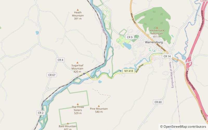
Upper Hudson River Valley

Map
Facts and practical information
The northern portion of the Hudson River valley in Upstate New York, generally that region extending from the first town below the headwaters of the Hudson River at North River to the last substantive waterfall preventing the passage of vessels at Fort Edward. Downstream from Fort Edward, northbound boat traffic exits the Hudson River onto the Champlain Canal. ()
Coordinates: 43°29'9"N, 73°48'33"W
Location
New York
ContactAdd
Social media
Add
Day trips
Upper Hudson River Valley – popular in the area (distance from the attraction)
Nearby attractions include: Mohican II, Lake George Historical Association, Shepard Park Lake George, Old Warren County Courthouse Complex.


