Downtown Loveland Historic District, Loveland
Map

Map

Facts and practical information
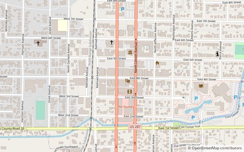
The Downtown Loveland Historic District in Loveland, Colorado is an 18 acres historic district which was listed on the National Register of Historic Places in 2015. It includes Loveland's commercial center which began in 1877, developed first as a railroad town, and then became an agricultural center and a regional center of government and commerce. ()
Coordinates: 40°23'44"N, 105°4'27"W
Address
Downtown LovelandLoveland
ContactAdd
Social media
Add
Day trips
Downtown Loveland Historic District – popular in the area (distance from the attraction)
Nearby attractions include: Rialto Theater, First United Presbyterian Church, Mckee Park, Lincoln Gallery.
Frequently Asked Questions (FAQ)
Which popular attractions are close to Downtown Loveland Historic District?
Nearby attractions include Rialto Theater, Loveland (1 min walk), Lincoln Gallery, Loveland (1 min walk), Independence Gallery, Loveland (2 min walk), First United Presbyterian Church, Loveland (5 min walk).


