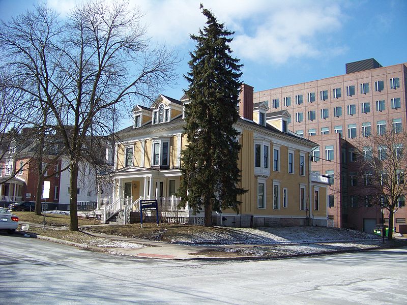
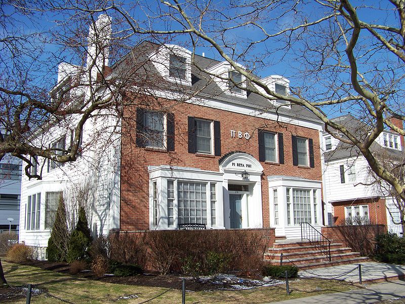
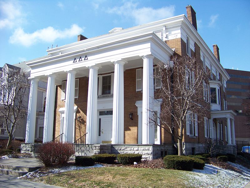
Walnut Park Historic District, Syracuse
Map
Gallery
Facts and practical information
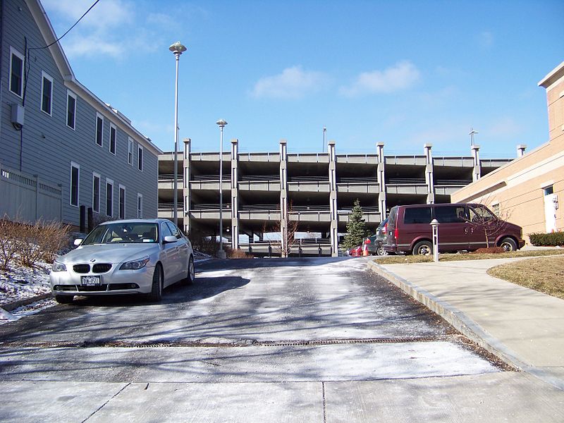
The Walnut Park Historic District is located in the University Hill neighborhood of Syracuse, New York, adjacent to the Syracuse University campus. The district was added to the National Register of Historic Places in 1983. ()
Coordinates: 43°2'32"N, 76°7'57"W
Address
Eastside (University Hill)Syracuse
ContactAdd
Social media
Add
Day trips
Walnut Park Historic District – popular in the area (distance from the attraction)
Nearby attractions include: Carrier Dome, Temple Society of Concord, Oncenter, Oakwood Cemetery.
Frequently Asked Questions (FAQ)
Which popular attractions are close to Walnut Park Historic District?
Nearby attractions include Ranke Library, Syracuse (4 min walk), Marshall Street, Syracuse (5 min walk), Pi Chapter House of Psi Upsilon Fraternity, Syracuse (6 min walk), Temple Society of Concord, Syracuse (6 min walk).
How to get to Walnut Park Historic District by public transport?
The nearest stations to Walnut Park Historic District:
Bus
Bus
- C19 • Lines: 188, 288, 388, 388X, 40, 46, 88 (24 min walk)
- C20 • Lines: 136, 162, 182, 186, 240, 248, 286, 340, 362, 48, 682, 82, 88 (24 min walk)


