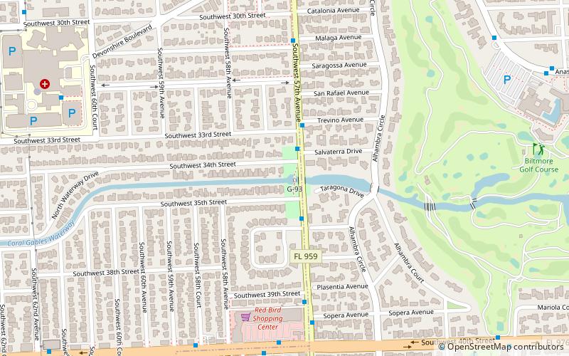
Entrance to Central Miami, Coral Gables
Map

Map

Facts and practical information
The Entrance to Central Miami is a historic site in Coral Terrace, Florida, Florida. It is located west of Red Road between Southwest 34th and Southwest 35th Streets. It is operated by the Parks Department of Miami-Dade county. On January 19, 1989, it was added to the U.S. National Register of Historic Places. ()
Coordinates: 25°44'19"N, 80°17'14"W
Address
Coral TerraceCoral Gables
ContactAdd
Social media
Add
Day trips
Entrance to Central Miami – popular in the area (distance from the attraction)
Nearby attractions include: Venetian Pool, Church of the Little Flower, Coral Gables Congregational Church, Coral Gables House.
Frequently Asked Questions (FAQ)
Which popular attractions are close to Entrance to Central Miami?
Nearby attractions include Church of the Little Flower, Coral Gables (15 min walk), Coral Gables Congregational Church, Coral Gables (15 min walk), Coral Way, Miami (22 min walk), Salvadore Park, Coral Gables (22 min walk).
How to get to Entrance to Central Miami by public transport?
The nearest stations to Entrance to Central Miami:
Bus
Bus
- Southwest 57th Avenue & Southwest 34th Street • Lines: 57 (2 min walk)


