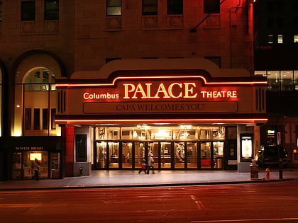
South High Commercial Historic District, Columbus
Map

Gallery
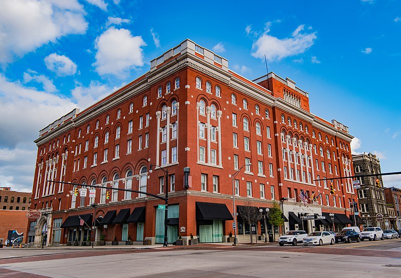
Facts and practical information
The South High Commercial Historic District is a historic district on High Street in Downtown Columbus, Ohio. The site was listed on the National Register of Historic Places in 1983 and the Columbus Register of Historic Properties in 1987. ()
Coordinates: 39°57'20"N, 82°59'56"W
Address
Downtown ColumbusColumbus
ContactAdd
Social media
Add
Day trips
South High Commercial Historic District – popular in the area (distance from the attraction)
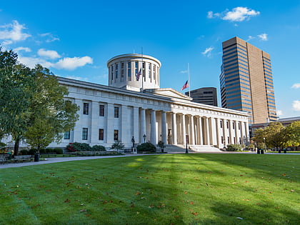
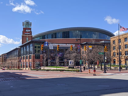
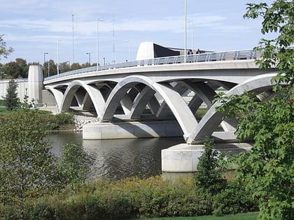
Nearby attractions include: Ohio Statehouse, Nationwide Arena, Cultural Arts Center, Rich Street Bridge.
Frequently Asked Questions (FAQ)
Which popular attractions are close to South High Commercial Historic District?
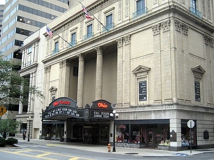
Nearby attractions include Schlee-Kemmler Building, Columbus (1 min walk), Great Southern Hotel & Theatre, Columbus (2 min walk), Trinity German Evangelical Lutheran Church, Columbus (5 min walk), Columbus Commons, Columbus (6 min walk).
How to get to South High Commercial Historic District by public transport?
The nearest stations to South High Commercial Historic District:
Bus
Bus
- S High St & W Main St • Lines: 1, 4, 5, 8, Cbus (1 min walk)
- E Mound St & S High St • Lines: 2, 3, 51, 6, 7, COTA Bus CMAX (2 min walk)

