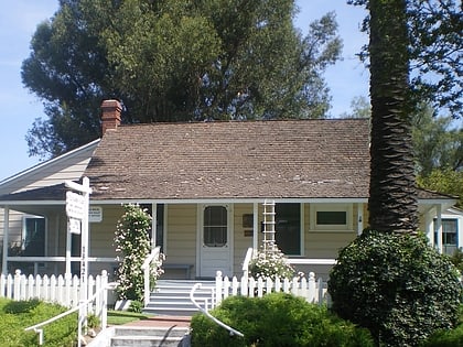
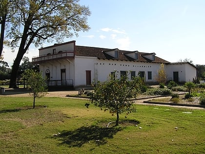
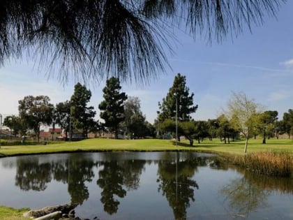
Rio Hondo bicycle path, Los Angeles
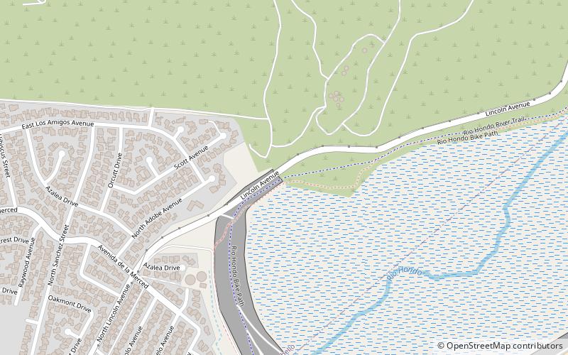
Map
Gallery
Facts and practical information
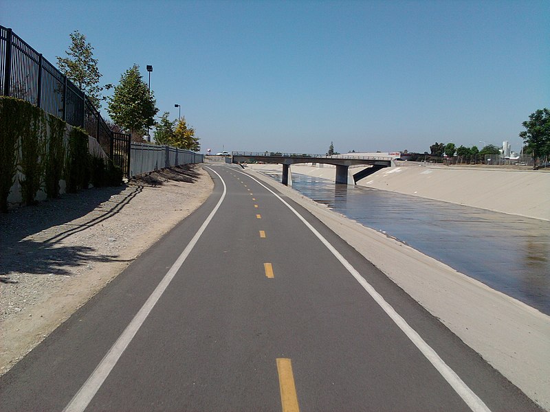
The Rio Hondo Bike Path is a bicycle path that parallels the Rio Hondo through the San Gabriel Valley, in eastern Los Angeles County, California. The path is gently graded, and has sections with more greenery and mature trees than other bicycle paths in the area. ()
Coordinates: 34°1'30"N, 118°5'1"W
Address
Southeast Los Angeles (Montebello)Los Angeles
ContactAdd
Social media
Add
Day trips
Rio Hondo bicycle path – popular in the area (distance from the attraction)
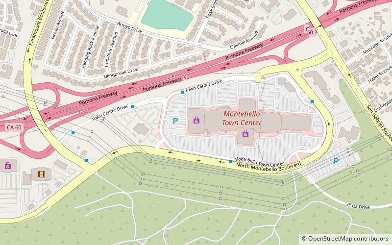
Nearby attractions include: The Shops at Montebello, Pico Rivera Sports Arena, Savannah Memorial Park, Montebello Genocide Memorial.
Frequently Asked Questions (FAQ)
Which popular attractions are close to Rio Hondo bicycle path?
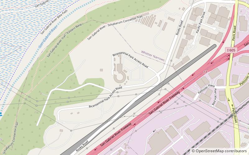
Nearby attractions include Whittier Narrows Dam, Los Angeles (9 min walk), Mission Vieja, Los Angeles (19 min walk).

 Metro & Regional Rail