Paseo de San Antonio, San Jose
Map

Gallery

Facts and practical information
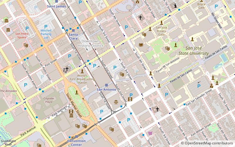
The Paseo de San Antonio is a pedestrian paseo in Downtown San Jose, spanning from Plaza de César Chávez in the west to San Jose State University's campus in the east. ()
Coordinates: 37°20'2"N, 121°53'12"W
Address
Central San Jose (Downtown San Jose)San Jose
ContactAdd
Social media
Add
Day trips
Paseo de San Antonio – popular in the area (distance from the attraction)
Nearby attractions include: Cathedral Basilica of St. Joseph, San Jose Museum of Art, City National Civic, The Tech Museum of Innovation.
Frequently Asked Questions (FAQ)
Which popular attractions are close to Paseo de San Antonio?
Nearby attractions include Hammer Theatre Center, San Jose (2 min walk), Twohy Building, San Jose (2 min walk), Ira F. Brilliant Center for Beethoven Studies, San Jose (4 min walk), Dr. Martin Luther King, San Jose (4 min walk).
How to get to Paseo de San Antonio by public transport?
The nearest stations to Paseo de San Antonio:
Bus
Light rail
Train
Bus
- San Antonio (2 min walk)
- East San Carlos Street & South 2nd Street • Lines: 23 (4 min walk)
Light rail
- San Antonio • Lines: Blue, Green (2 min walk)
- Santa Clara • Lines: Blue, Green (6 min walk)
Train
- San Jose Diridon (24 min walk)


