Tom King Bayou Bridge, Santa Rosa Island
Map
Facts and practical information
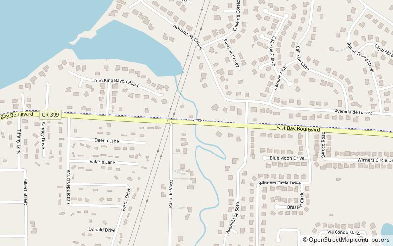
Tom King Bayou Bridge is the locally used name for the East Bay Boulevard bridge crossing at Tom King Bayou. The bayou is crossed by East Bay Boulevard near the entrance of the bayou. ()
Coordinates: 30°26'46"N, 86°56'10"W
Address
Santa Rosa Island
ContactAdd
Social media
Add
Day trips
Tom King Bayou Bridge – popular in the area (distance from the attraction)
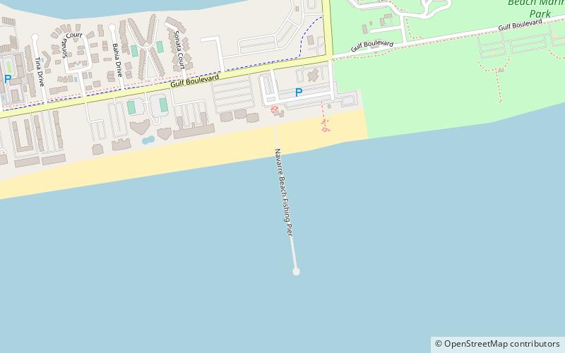
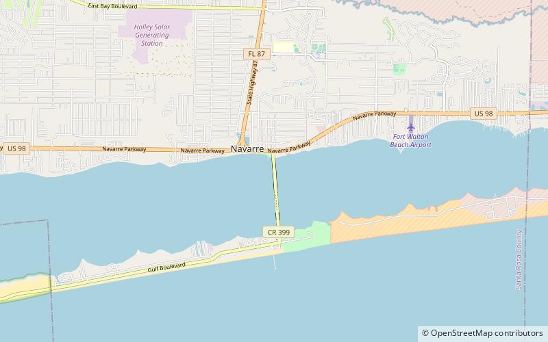
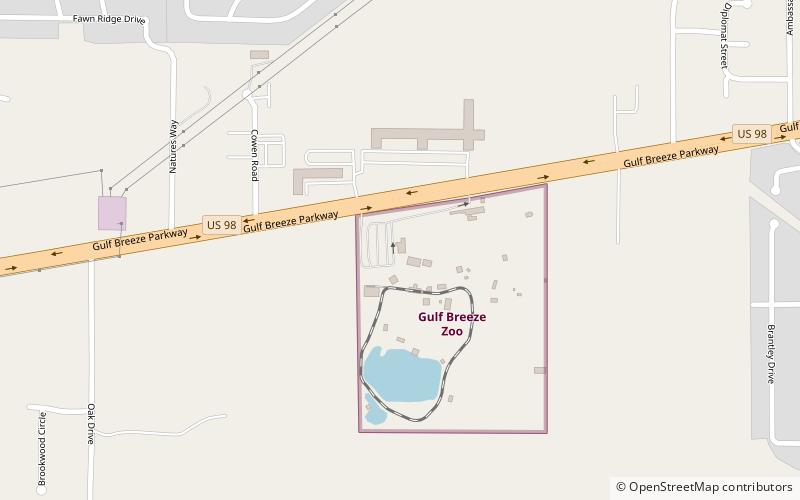
Nearby attractions include: Navarre Beach Sea Turtle Conservation Center, Navarre Beach Fishing Pier, Navarre Beach Causeway, Gulf Breeze Zoo.

