Logan Heights, San Diego
Map
Facts and practical information
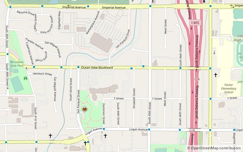
Logan Heights is an urban neighborhood in central San Diego, California. It is bordered by Interstate 5 on the south and west, Interstate 15 on the east, and Imperial Avenue on the north. It is part of the Southeastern Planning Area. ()
Coordinates: 32°42'0"N, 117°5'60"W
Address
Southeastern San Diego (Mountain View)San Diego
ContactAdd
Social media
Add
Getting there by public transportation
Public transportation stops near this location
- Light rail
 Light rail
- Calculate route47th Street 17 min walk
- Calculate routeEuclid Avenue 27 min walk
Day trips


Frequently Asked Questions (FAQ)
Which popular attractions are close to Logan Heights?
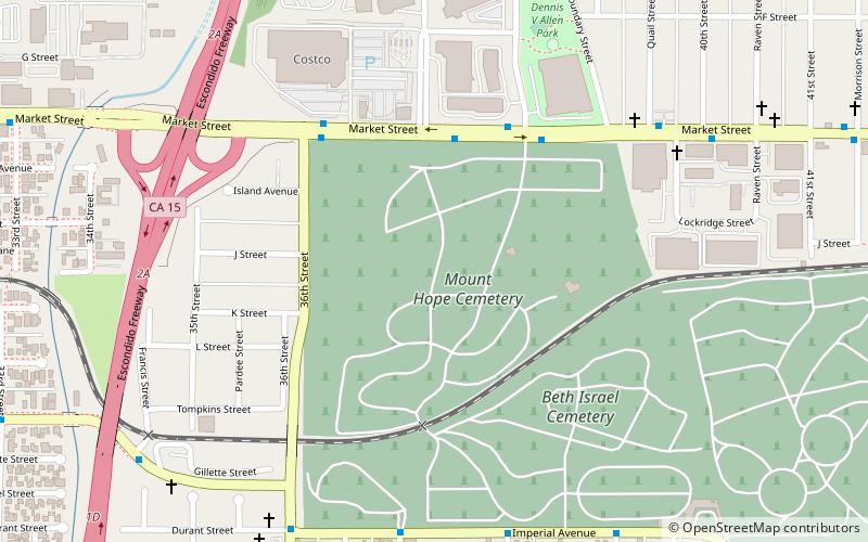
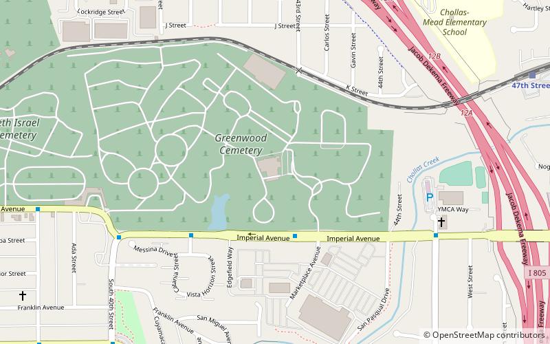
Nearby attractions include Greenwood Memorial Park, San Diego (12 min walk), Southcrest, San Diego (23 min walk).
How to get to Logan Heights by public transport?
The nearest stations to Logan Heights:
Light rail
Light rail
- 47th Street • Lines: 520 (17 min walk)
- Euclid Avenue • Lines: 520 (27 min walk)