Hudson Street, New York City
Map

Gallery

Facts and practical information
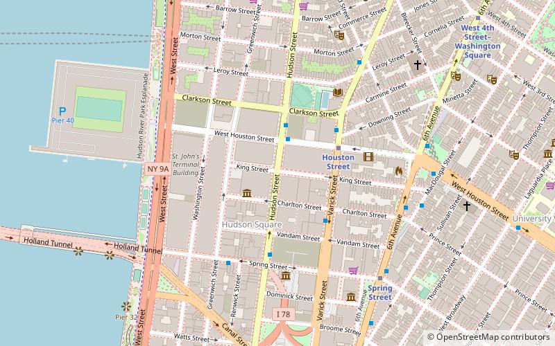
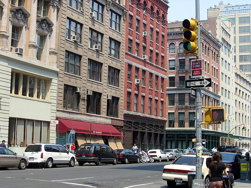
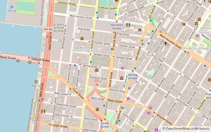
Hudson Street is a north–south oriented street in the New York City borough of Manhattan running from Tribeca to the south, through Hudson Square and Greenwich Village, to the Meatpacking District. ()
Address
Downtown Manhattan (SoHo)New York City
ContactAdd
Social media
Add
Day trips
Hudson Street – popular in the area (distance from the attraction)
Nearby attractions include: Ear Inn, Paradise Garage, Father Demo Square, Color Factory.
Frequently Asked Questions (FAQ)
Which popular attractions are close to Hudson Street?
Nearby attractions include Choco-Story New York, New York City (1 min walk), Children's Museum of the Arts, New York City (2 min walk), 330 Hudson, New York City (2 min walk), Hudson Square, New York City (3 min walk).
How to get to Hudson Street by public transport?
The nearest stations to Hudson Street:
Metro
Bus
Ferry
Train
Light rail
Metro
- Houston Street • Lines: 1, 2 (3 min walk)
- Spring Street • Lines: A, C, E (7 min walk)
Bus
- Broadway & Prince Street • Lines: M55 (15 min walk)
Ferry
- Brookfield Place / Battery Park City Ferry Terminal (27 min walk)
- Hoboken NJ Transit Terminal (29 min walk)
Train
- Hoboken Terminal (30 min walk)
Light rail
- Hoboken Terminal • Lines: Hblr (32 min walk)

 Subway
 Manhattan Buses


