Northern Pacific Bridge Number 9, Minneapolis
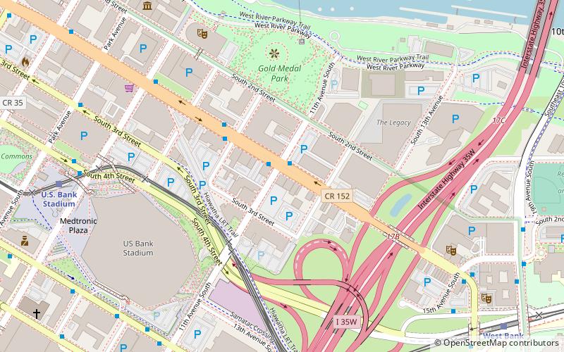
Map
Gallery
Facts and practical information
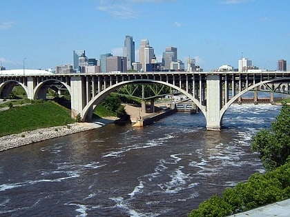
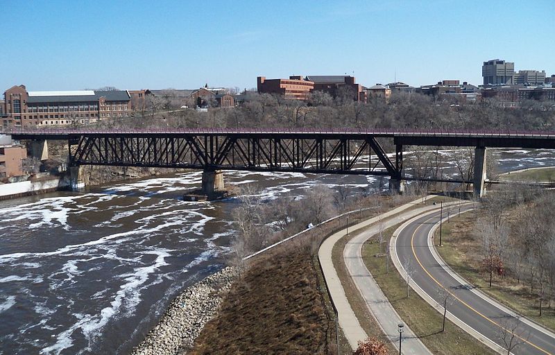
Northern Pacific Bridge #9 is a deck truss bridge that spans the Mississippi River in Minneapolis, Minnesota, between the Seven Corners area and the University of Minnesota campus. It was built in 1924 and was designed by Frederick W. Cappelen. Railroad use of the bridge ended in 1981, and in 1999 the bridge was opened to bicycles and pedestrians. It replaced the former Northern Pacific "A Line" bridge. ()
Opened: 1924 (102 years ago)Coordinates: 44°58'39"N, 93°14'29"W
Address
West River ParkwayUniversity (Cedar-Riverside)Minneapolis 55414
ContactAdd
Social media
Day trips
Northern Pacific Bridge Number 9 – popular in the area (distance from the attraction)
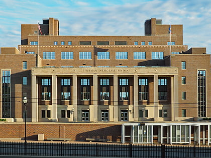
Nearby attractions include: Weisman Art Museum, Williams Arena, Day Block Brewing Company, Coffman Memorial Union.
Frequently Asked Questions (FAQ)
Which popular attractions are close to Northern Pacific Bridge Number 9?
Nearby attractions include Bohemian Flats, Minneapolis (5 min walk), 10th Avenue Bridge, Minneapolis (5 min walk), I-35W Saint Anthony Falls Bridge, Minneapolis (6 min walk), University of Minnesota Old Campus Historic District, Minneapolis (6 min walk).
How to get to Northern Pacific Bridge Number 9 by public transport?
The nearest stations to Northern Pacific Bridge Number 9:
Bus
Light rail
Bus
- Eddy Hall • Lines: 3, 3A, 3B, 3K, 3U (7 min walk)
- 13 Av Se • Lines: 2, 2C, 2E (7 min walk)
Light rail
- West Bank • Lines: 902 (12 min walk)
- East Bank • Lines: 902 (15 min walk)


