Far Westside, Syracuse
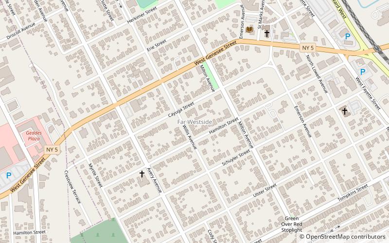
Map
Facts and practical information
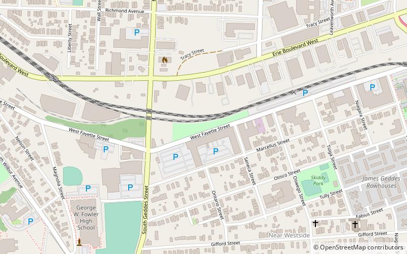
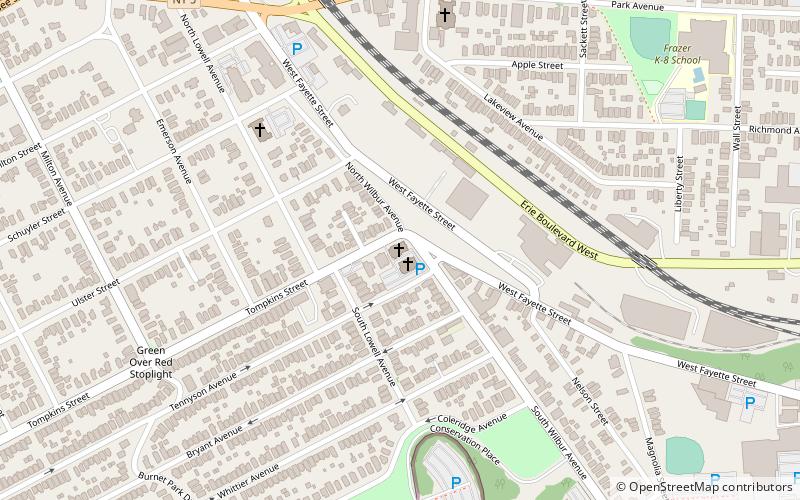
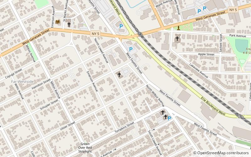
The Syracuse Far Westside is one of 26 neighborhoods recognized by the City of Syracuse, New York. Until this area joined the city in 1886 it was known as the Village of Geddes. ()
Coordinates: 43°2'59"N, 76°11'23"W
Address
Far West SideSyracuse
ContactAdd
Social media
Add
Day trips
Far Westside – popular in the area (distance from the attraction)
Nearby attractions include: Rosamond Gifford Zoo, James Pass Arboretum, Basilica of the Sacred Heart of Jesus, Tipperary Hill Heritage Memorial.
Frequently Asked Questions (FAQ)
Which popular attractions are close to Far Westside?
Nearby attractions include Hazard Branch Library - Onondaga County Public Libraries, Syracuse (7 min walk), Tipperary Hill Heritage Memorial, Syracuse (8 min walk), Tipperary Hill, Syracuse (9 min walk), St. Patrick's Church, Syracuse (10 min walk).


