Merchants Square, Williamsburg
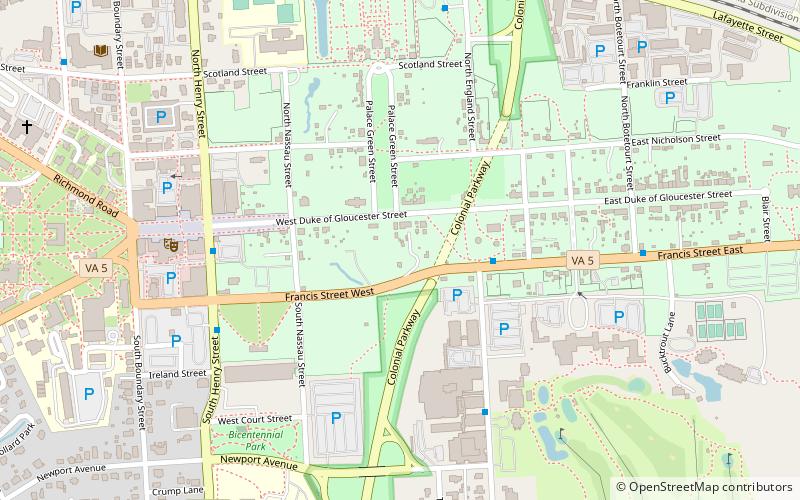
Map

Gallery

Facts and practical information
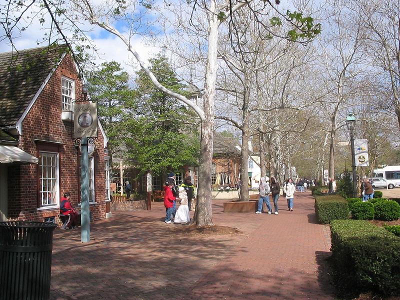
Merchants Square is a 20th-century interpretation of an 18th-century-style retail village in Colonial Williamsburg, Virginia, United States. It is listed on the National Register of Historic Places. ()
Coordinates: 37°16'14"N, 76°42'6"W
Address
Historic WilliamsburgWilliamsburg
ContactAdd
Social media
Add
Day trips
Merchants Square – popular in the area (distance from the attraction)
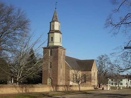
Nearby attractions include: DeWitt Wallace Decorative Arts Museum, Governor's Palace, Bruton Parish Church, St. George Tucker House.
Frequently Asked Questions (FAQ)
Which popular attractions are close to Merchants Square?
Nearby attractions include Bruton Parish Church, Williamsburg (3 min walk), Wythe House, Williamsburg (4 min walk), St. George Tucker House, Williamsburg (4 min walk), Peyton Randolph House, Williamsburg (5 min walk).
How to get to Merchants Square by public transport?
The nearest stations to Merchants Square:
Bus
Train
Bus
- Armistead Ave & Scotland St • Lines: 2, 5, 6 (12 min walk)
- Law School • Lines: 8 (14 min walk)
Train
- Williamsburg (15 min walk)


