Dahlman neighborhood, Omaha

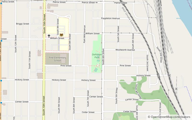
Map
Facts and practical information
The Dahlman neighborhood is located south of downtown Omaha, Nebraska. One of the oldest neighborhoods in the city, it was originally platted in 1856. It was later named after "Cowboy" James Dahlman, an eight-term mayor of Omaha. ()
Coordinates: 41°14'39"N, 95°55'29"W
Address
Southeast Omaha (Little Italy)Omaha
ContactAdd
Social media
Add
Day trips
Dahlman neighborhood – popular in the area (distance from the attraction)
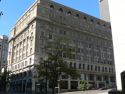
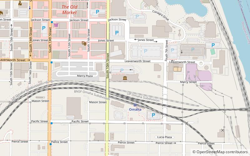
Nearby attractions include: J. L. Brandeis and Sons Store Building, Joslyn Art Museum, Durham Museum, Lauritzen Gardens.
Frequently Asked Questions (FAQ)
Which popular attractions are close to Dahlman neighborhood?
Nearby attractions include Little Italy, Omaha (5 min walk), St. Frances Cabrini Catholic Church, Omaha (7 min walk), Old Gold Coast, Omaha (7 min walk), Joel N. Cornish House, Omaha (7 min walk).
How to get to Dahlman neighborhood by public transport?
The nearest stations to Dahlman neighborhood:
Train
Bus
Train
- Omaha (11 min walk)
Bus
- Omaha Bus Station (25 min walk)
- 14th & Douglas • Lines: 95 (29 min walk)


