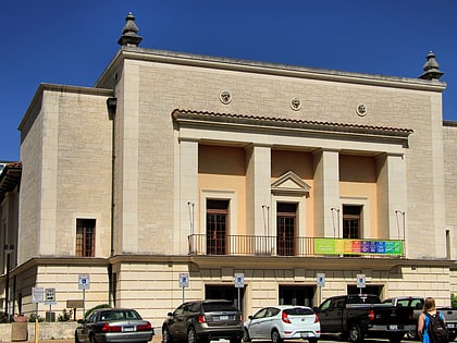
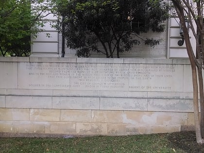
Wheatville, Austin
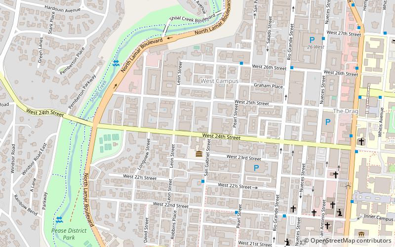
Map
Facts and practical information
Wheatville was a historically black neighborhood in the city of Austin, Texas. ()
Coordinates: 30°17'19"N, 97°44'54"W
Address
Central Austin (West University)Austin
ContactAdd
Social media
Add
Day trips
Wheatville – popular in the area (distance from the attraction)
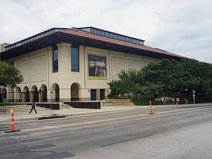
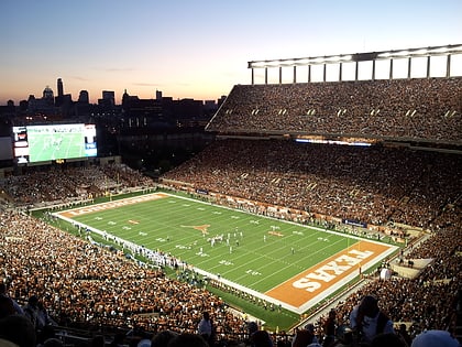
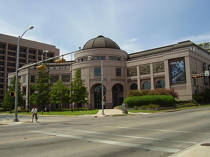
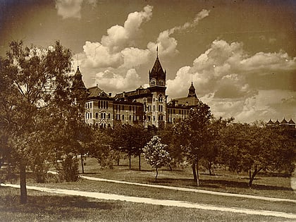
Nearby attractions include: Blanton Museum of Art, Darrell K Royal–Texas Memorial Stadium, Bullock Texas State History Museum, Main Building.
Frequently Asked Questions (FAQ)
Which popular attractions are close to Wheatville?
Nearby attractions include Texas Federation of Women's Clubs Mansion, Austin (2 min walk), Neill–Cochran House, Austin (2 min walk), Shoal Creek Dog Park, Austin (7 min walk), Goodall Wooten House, Austin (11 min walk).
How to get to Wheatville by public transport?
The nearest stations to Wheatville:
Bus
Bus
- San Gabriel/25 1/2 • Lines: 642 (3 min walk)
- 26th/Pearl • Lines: 642 (5 min walk)
