Winton Hills, Cincinnati
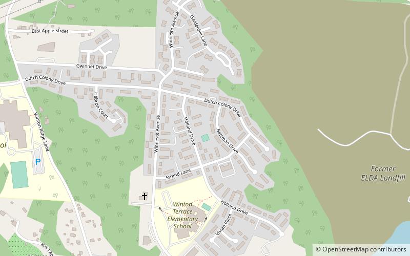
Map
Facts and practical information
Winton Hills is a neighborhood in Cincinnati, Ohio. The population was 4,787 at the 2010 census. ()
Coordinates: 39°11'20"N, 84°30'45"W
Address
Winton HillsCincinnati
ContactAdd
Social media
Add
Getting there by public transportation
Public transportation stops near this location
- Bus
 Bus
Bus
- Calculate routeCenter Hill Ave 5997 15 min walk
- Calculate routeDutch Colony Dr & Winton Rd 16 min walk
- Calculate routeWinton Rd 4980 16 min walk
Day trips


Frequently Asked Questions (FAQ)
How to get to Winton Hills by public transport?
The nearest stations to Winton Hills:
Bus
Bus
- Center Hill Ave 5997 • Lines: 41 (15 min walk)
- Dutch Colony Dr & Winton Rd • Lines: 16 (16 min walk)