Bullhead Trail, Gatlinburg
Map
Gallery
Facts and practical information
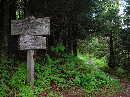
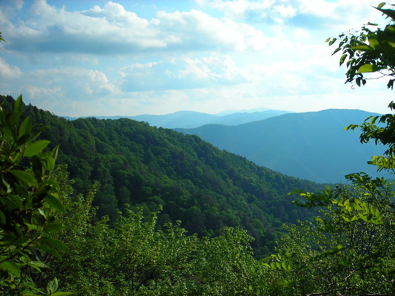
The Bullhead Trail is an American hiking trail in the Great Smoky Mountains National Park, in Sevier County, Tennessee. The trail ascends Mount Le Conte, the tallest mountain east of the Mississippi River and offers outstanding views before joining the Rainbow Falls Trail before terminating near the LeConte Lodge. ()
Coordinates: 35°42'42"N, 83°30'4"W
Address
Gatlinburg
ContactAdd
Social media
Add
Day trips
Bullhead Trail – popular in the area (distance from the attraction)
Nearby attractions include: Ober Gatlinburg, Museum of Salt and Pepper Shakers, Mountain Mall, Gatlinburg Space Needle.
Frequently Asked Questions (FAQ)
Which popular attractions are close to Bullhead Trail?
Nearby attractions include Museum of Salt and Pepper Shakers, Gatlinburg (9 min walk), Arrowmont School of Arts and Crafts, Gatlinburg (16 min walk), Ripley's Aquarium of the Smokies, Gatlinburg (18 min walk), Ripleys Marvelous Mirror Maze, Gatlinburg (20 min walk).
