Occidental College, Los Angeles
Map
Facts and practical information
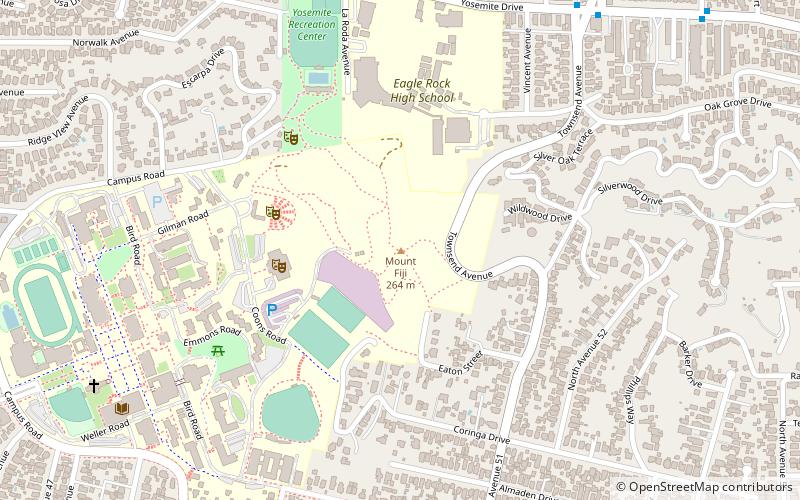
Occidental College is a private liberal arts college in Los Angeles, California. Founded in 1887 as a coeducational college by clergy and members of the Presbyterian Church, it became non-sectarian in 1910. It is one of the oldest liberal arts colleges on the West Coast of the United States. ()
Address
1600 Campus RoadNortheast Los Angeles (Eagle Rock)Los Angeles
Contact
+1 323-259-2500
Social media
Add
Public Transportation
Maps Metro & Regional Rail
Metro & Regional RailDay trips
Occidental College – popular in the area (distance from the attraction)
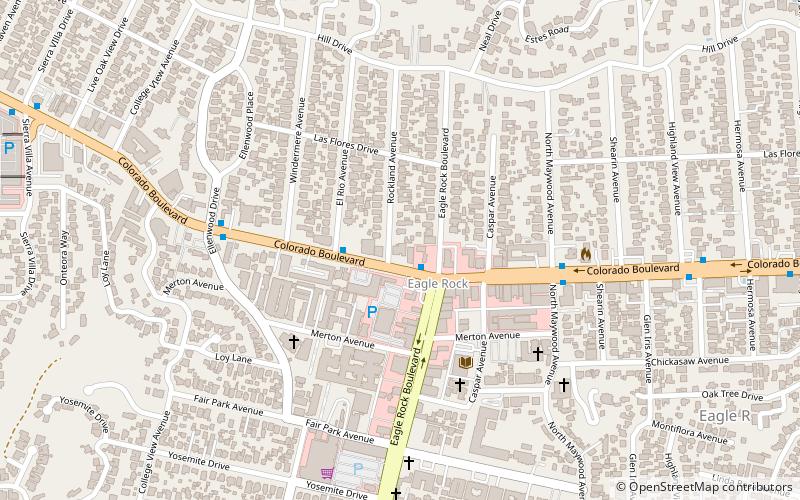
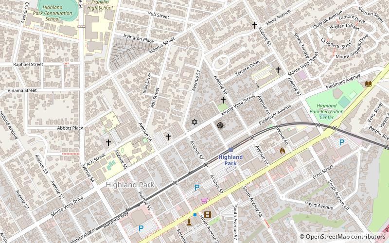
Nearby attractions include: Center for the Arts Eagle Rock, Santa Fe Arroyo Seco Railroad Bridge, Highland Park Police Station, Temple Beth Israel of Highland Park and Eagle Rock.


Frequently Asked Questions (FAQ)
Which popular attractions are close to Occidental College?
Nearby attractions include The York Manor, Los Angeles (14 min walk), Eagle Rock, Los Angeles (22 min walk), Center for the Arts Eagle Rock, Los Angeles (24 min walk).