Neighborhoods of Albany, Albany
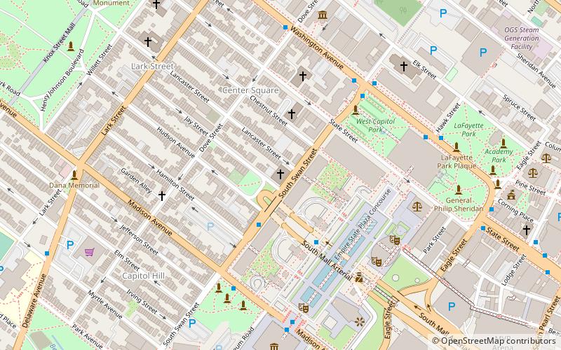
Map
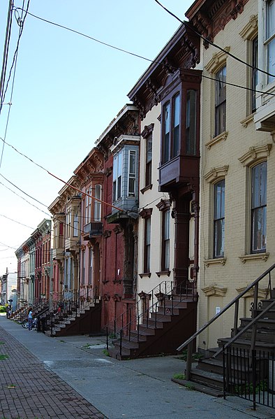
Gallery
Facts and practical information
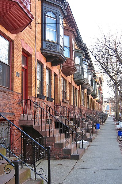
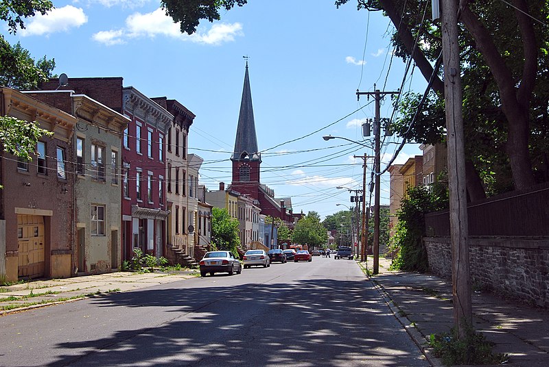
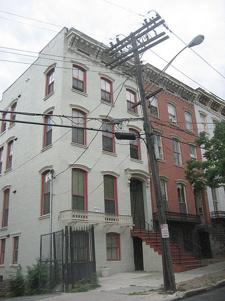
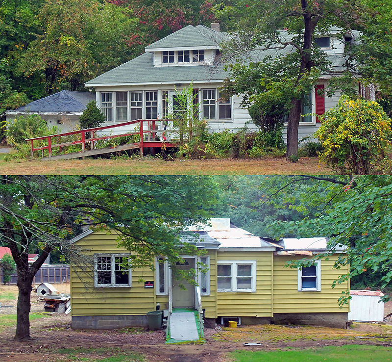
The neighborhoods of Albany, New York are listed below. ()
Coordinates: 42°39'8"N, 73°45'23"W
Address
Central AvenueAlbany
ContactAdd
Social media
Add
Day trips
Neighborhoods of Albany – popular in the area (distance from the attraction)
Nearby attractions include: New York State Capitol, Times Union Center, Statue of Philip Schuyler, The Egg Building.
Frequently Asked Questions (FAQ)
Which popular attractions are close to Neighborhoods of Albany?
Nearby attractions include New York State Capitol, Albany (2 min walk), Lafayette Park Historic District, Albany (2 min walk), Statue of Philip Schuyler, Albany (2 min walk), Albany City Hall, Albany (3 min walk).
How to get to Neighborhoods of Albany by public transport?
The nearest stations to Neighborhoods of Albany:
Bus
Train
Bus
- Washington Ave & Hawk St - Capitol/Hawk Station • Lines: 224, 540, 905 (2 min walk)
- S. Swan St & Washington Ave • Lines: 224, 540 (5 min walk)
Train
- Albany-Rensselaer (28 min walk)


