Pinch District, Memphis
Map
Gallery
Facts and practical information
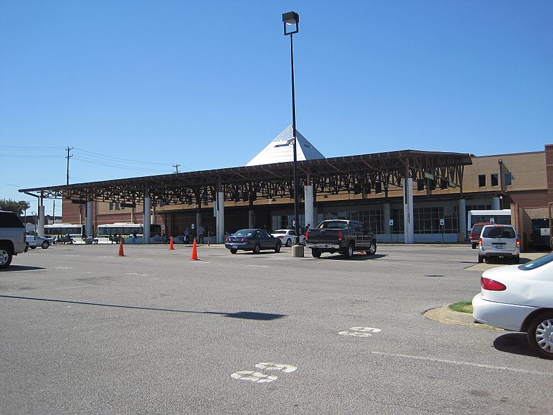
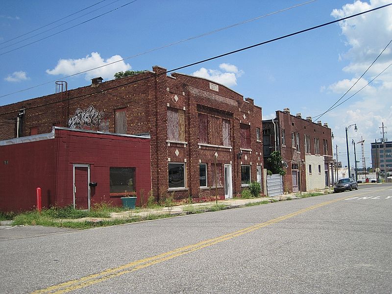
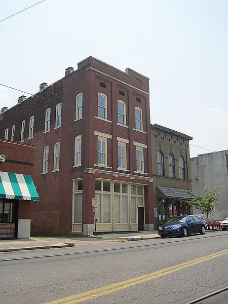
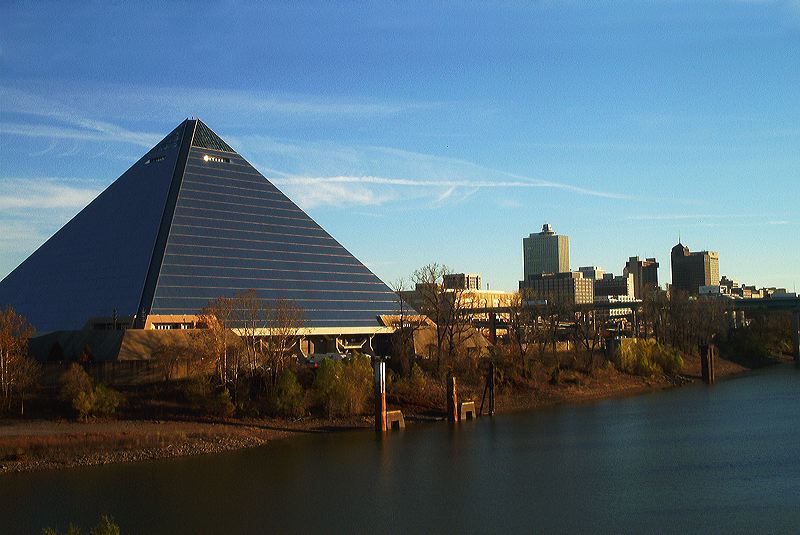
The Pinch District is a historical district of downtown Memphis roughly bordered by the Wolf River lagoon on the west, Market Street on the south, Danny Thomas Boulevard on the east, and A.W. Willis Avenue on the north. ()
Coordinates: 35°8'12"N, 90°0'53"W
Address
Midtown (Central Gardens)Memphis
ContactAdd
Social media
Add
Day trips
Pinch District – popular in the area (distance from the attraction)
Nearby attractions include: Memphis Zoo, Levitt Shell, St. Mary's Episcopal Cathedral, Memphis Brooks Museum of Art.
Frequently Asked Questions (FAQ)
Which popular attractions are close to Pinch District?
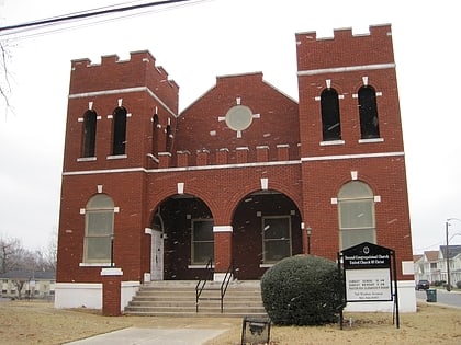
Nearby attractions include Medical District, Memphis (1 min walk), Rowland J. Darnell House, Memphis (2 min walk), First Congregational Church and Parish House, Memphis (3 min walk), Robert M. Carrier House, Memphis (16 min walk).
How to get to Pinch District by public transport?
The nearest stations to Pinch District:
Tram
Tram
- Cleveland Street • Lines: MATA Trolley Madison Avenue Line (6 min walk)
- Pauline • Lines: MATA Trolley Madison Avenue Line (22 min walk)


