Shoomaker's Saloon, Washington D.C.
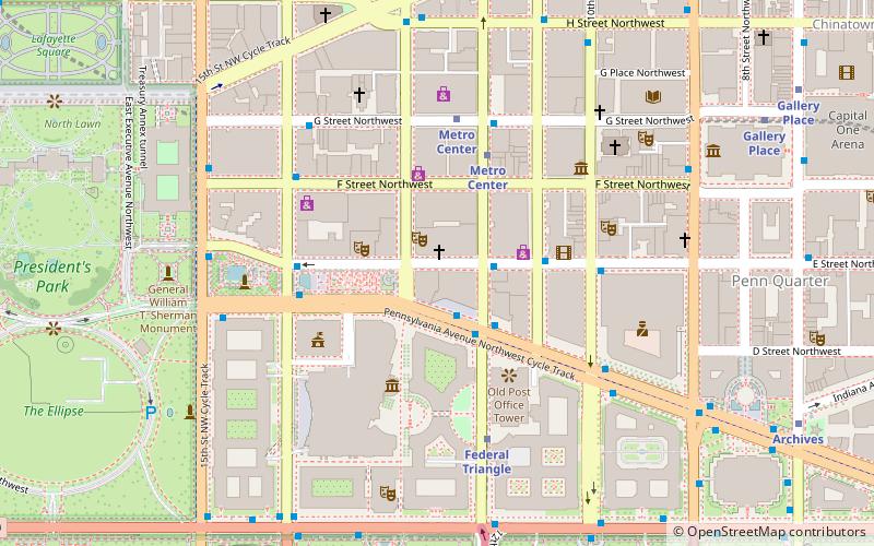
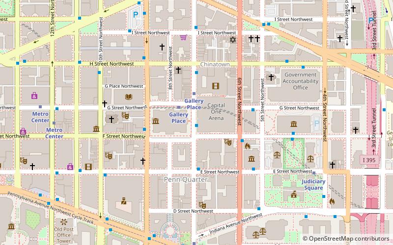
Map
Facts and practical information
Shoomaker's Saloon, a favorite bar of politicians, lobbyists and politicians, was located on Washington, DC's Rum Row. It is widely known as the birthplace of the Rickey cocktail. ()
Coordinates: 38°53'46"N, 77°1'44"W
Address
Northwest Washington (Downtown-Penn Quarter-Chinatown)Washington D.C.
ContactAdd
Social media
Add
Day trips
Shoomaker's Saloon – popular in the area (distance from the attraction)
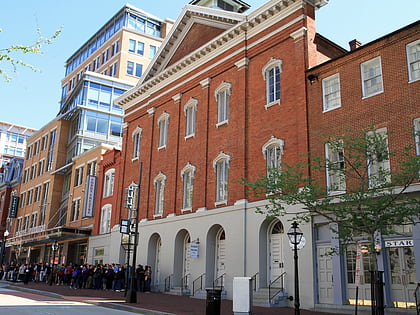
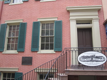
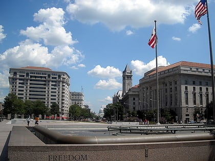
Nearby attractions include: National Gallery of Art Sculpture Garden, Ford's Theatre, Petersen House, Freedom Plaza.
Frequently Asked Questions (FAQ)
Which popular attractions are close to Shoomaker's Saloon?
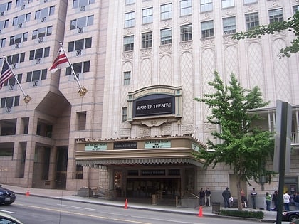
Nearby attractions include Warner Theatre, Washington D.C. (2 min walk), National Theatre, Washington D.C. (3 min walk), Freedom Plaza, Washington D.C. (3 min walk), Brownley Confectionery Building, Washington D.C. (4 min walk).
How to get to Shoomaker's Saloon by public transport?
The nearest stations to Shoomaker's Saloon:
Metro
Bus
Train
Metro
- Metro Center • Lines: Bl, Or, Rd, Sv (5 min walk)
- Federal Triangle • Lines: Bl, Or, Sv (5 min walk)
Bus
- 19th St & F St Northwest (21 min walk)
- MTA Bus Stop • Lines: 305, 315 (23 min walk)
Train
- L'Enfant (22 min walk)
- U.S. Capitol (30 min walk)

