Hermitage Road Historic District, Richmond
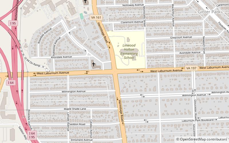
Map
Facts and practical information
Hermitage Road Historic District is a Northside neighborhood in the independent city of Richmond, Virginia. The district is a Richmond Old and Historic District, as well as being listed on the Virginia Landmarks Register and the National Register of Historic Places. ()
Coordinates: 37°35'3"N, 77°27'45"W
Address
Northside (Rosedale)Richmond
ContactAdd
Social media
Add
Getting there by public transportation
Public transportation stops near this location
- Bus
 Bus
Bus
- Calculate routeGreyhound Bus Station 22 min walk
Day trips


Frequently Asked Questions (FAQ)
Which popular attractions are close to Hermitage Road Historic District?
Nearby attractions include Laburnum Park Historic District, Richmond (11 min walk), Brookland Park Historic District, Richmond (22 min walk), The Diamond, Richmond (22 min walk), Bryan Park, Richmond (24 min walk).
How to get to Hermitage Road Historic District by public transport?
The nearest stations to Hermitage Road Historic District:
Bus
Bus
- Greyhound Bus Station (22 min walk)