Bridgham–Arch–Wilson Streets Historic District, Providence

Facts and practical information
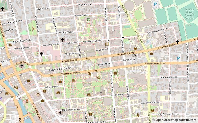
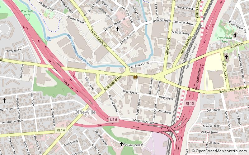
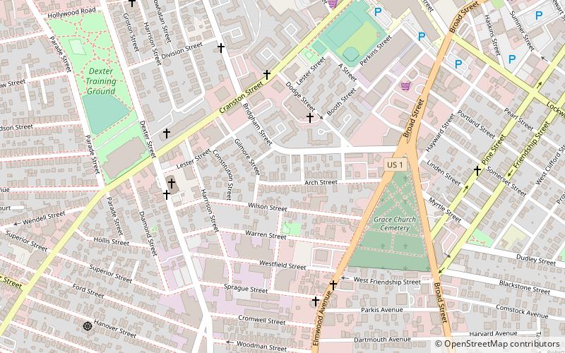
The Bridgham–Arch–Wilson Streets Historic District is a predominantly residential historic district in Providence, Rhode Island. It is located southwest of downtown Providence, and was developed beginning in the 1840s as a suburban part of the city. It is roughly in the shape of a boot, roughly bounded by Cranston, Bridgham, Elmwood, and Harrison Streets. Most of the housing is architecturally reflective of the mid-19th century, with the Greek Revival, Italianate, and Second Empire styles well represented. Development in the area slowed in the late 19th and early 20th centuries, so there are only a modest number of Queen Anne, Stick style, and Colonial Revival properties. Most of the houses are either 1-1/2 or 2+1⁄2-story wood-frame structures, and are generally set on fairly small lots. There are 175 primary buildings in the district, of which more than 150 are historically significant. ()
West End ProvidenceProvidence
Bridgham–Arch–Wilson Streets Historic District – popular in the area (distance from the attraction)
Nearby attractions include: Providence Place, The Arcade, Dunkin' Donuts Center, RISD Museum.
Frequently Asked Questions (FAQ)
Which popular attractions are close to Bridgham–Arch–Wilson Streets Historic District?
How to get to Bridgham–Arch–Wilson Streets Historic District by public transport?
Bus
- Eddy and Borden • Lines: 3, 3A, 3B (25 min walk)
- Dorrance and Pine • Lines: 1, 3, 3A, 3B, 62 (28 min walk)
Train
- Providence (35 min walk)


