Mt. Sinai Synagogue, Cheyenne
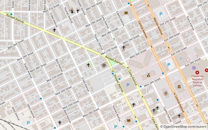
Map
Facts and practical information
The Mt. Sinai Synagogue in Cheyenne, Wyoming was listed on the National Register of Historic Places in 2017. ()
Coordinates: 41°8'27"N, 104°49'26"W
Address
Historic CheyenneCheyenne
ContactAdd
Social media
Add
Getting there by public transportation
Public transportation stops near this location
- Bus
 Bus
Bus
- Calculate routePioneer & 25th St. 2 min walk
- Calculate route24th St. & Carey 5 min walk
- Calculate routeLibrary East Side 8 min walk
- Calculate routeBurke High Rise 9 min walk
Day trips
Mt. Sinai Synagogue – popular in the area (distance from the attraction)
Nearby attractions include: Wyoming State Capitol, Wyoming State Museum, St. Mary's Catholic Cathedral, Joseph C. O'Mahoney Federal Center.


Frequently Asked Questions (FAQ)
Which popular attractions are close to Mt. Sinai Synagogue?
Nearby attractions include Wyoming State Capitol, Cheyenne (6 min walk), Wyoming State Museum, Cheyenne (9 min walk), Joseph C. O'Mahoney Federal Center, Cheyenne (9 min walk), St. Mary's Catholic Cathedral, Cheyenne (10 min walk).
How to get to Mt. Sinai Synagogue by public transport?
The nearest stations to Mt. Sinai Synagogue:
Bus
Bus
- Pioneer & 25th St. • Lines: Downtown (2 min walk)
- 24th St. & Carey • Lines: Downtown (5 min walk)