Forts Baker, San Francisco
Map
Gallery

Facts and practical information
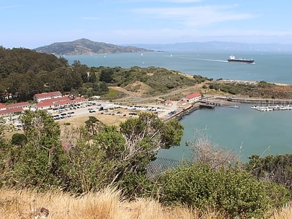
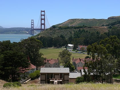
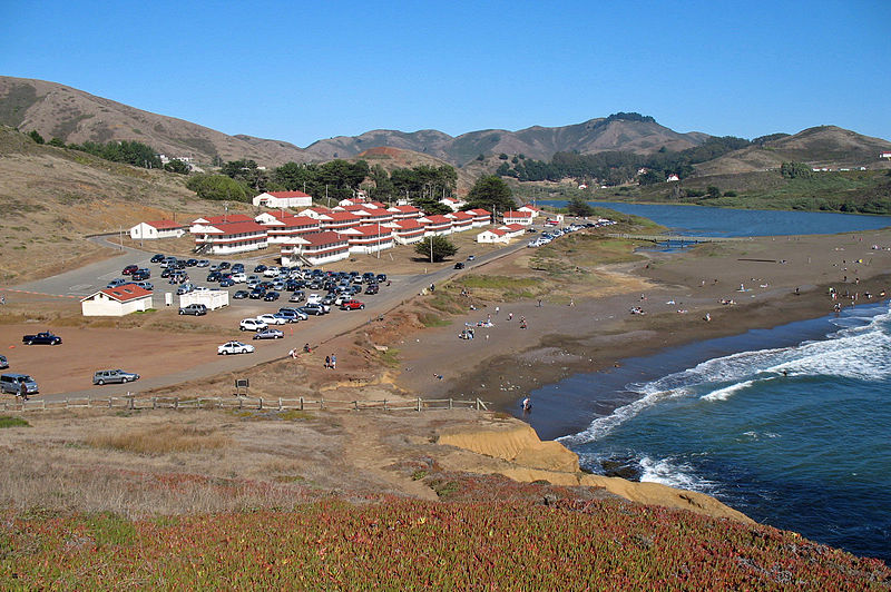
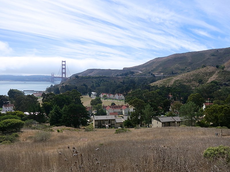
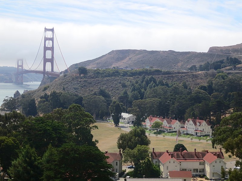
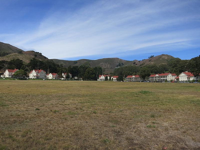
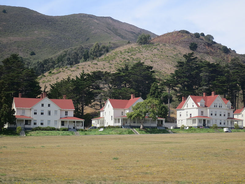
Forts Baker, Barry, and Cronkhite near Sausalito, California is a combination of historic sites that, as a group, was listed on the National Register of Historic Places in 1973. Fort Baker is a major part. ()
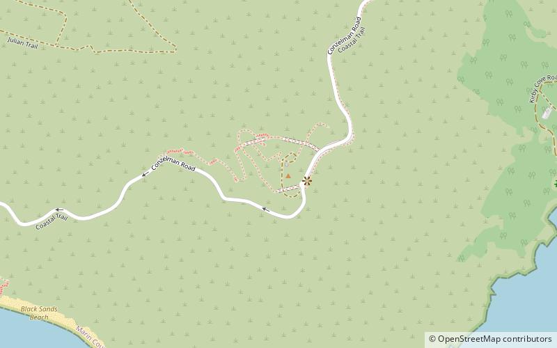
Coordinates: 37°50'9"N, 122°28'39"W
Address
San Francisco
ContactAdd
Social media
Add
Day trips
Forts Baker – popular in the area (distance from the attraction)
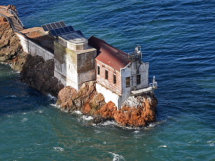
Nearby attractions include: Golden Gate Bridge, Lime Point Light, Bay Area Discovery Museum, Hawk Hill.
Frequently Asked Questions (FAQ)
Which popular attractions are close to Forts Baker?
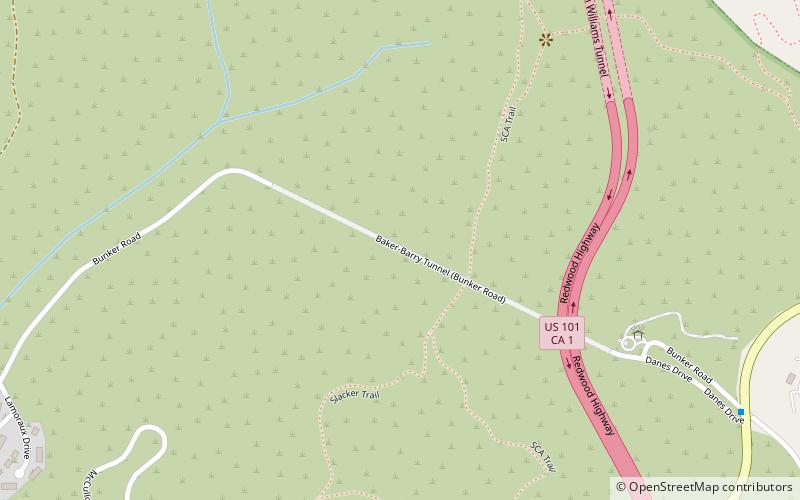
Nearby attractions include Fort Baker, Sausalito (1 min walk), Bay Area Discovery Museum, Sausalito (1 min walk), Lime Point Light, San Francisco (19 min walk), Baker–Barry Tunnel, Marin Headlands (21 min walk).
How to get to Forts Baker by public transport?
The nearest stations to Forts Baker:
Bus
Bus
- Alexander Avenue & Danes Drive • Lines: 2, 30, 4, 92 (9 min walk)
- US 101 Offramp & Alexander Avenue • Lines: 2, 30, 92 (10 min walk)


 Muni Metro
